
Routing & wayfinding — from door to destination, without friction.
Multimodal route calculation, step-by-step navigation, multi-floor. Profiles tailored to all your users.
CAPABILITIES
Integrated, multimodal, and intelligent route planning
The only mapping solution with integrated end-to-end route calculation: your users stay guided without ever leaving your interface.
Route calculation
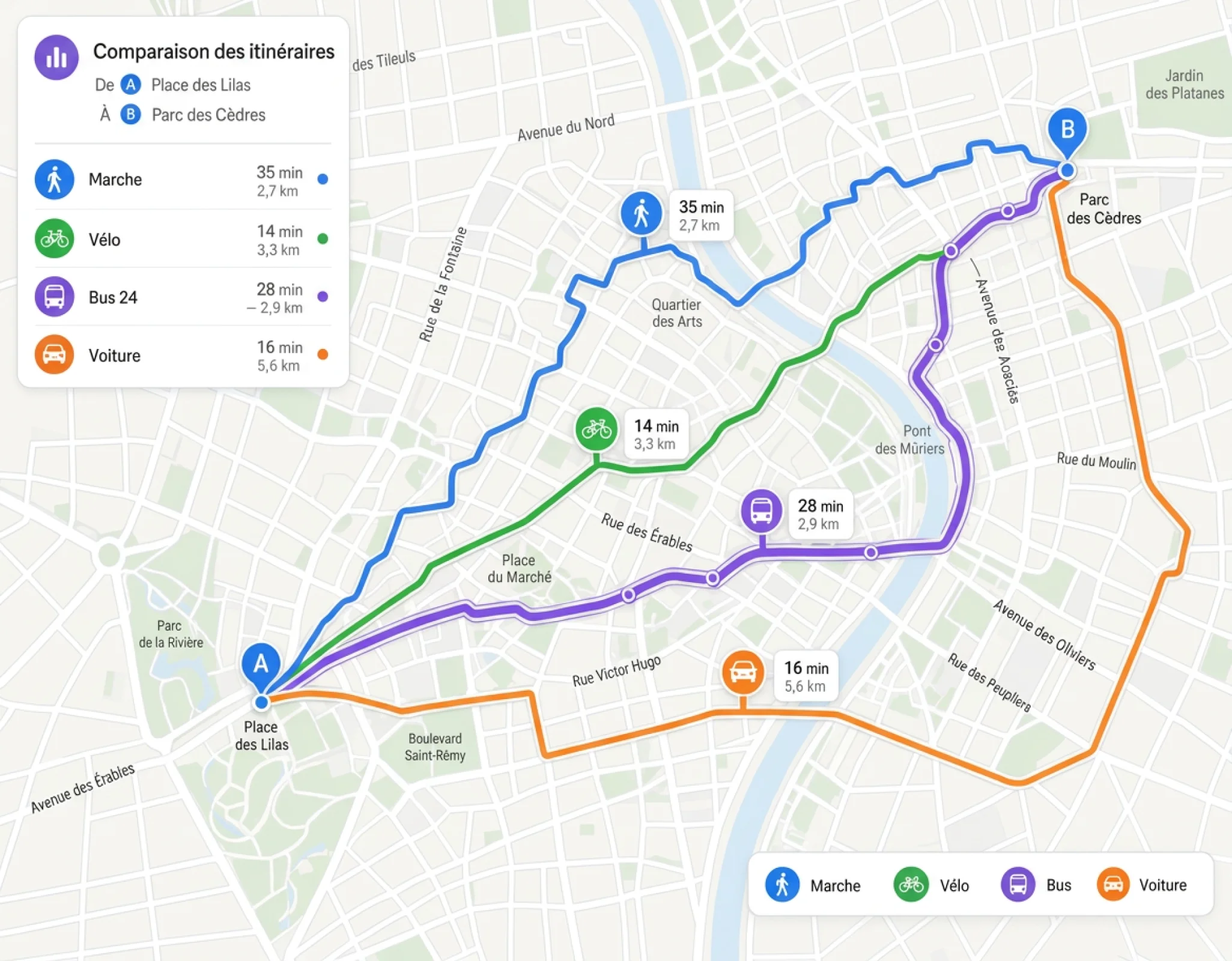
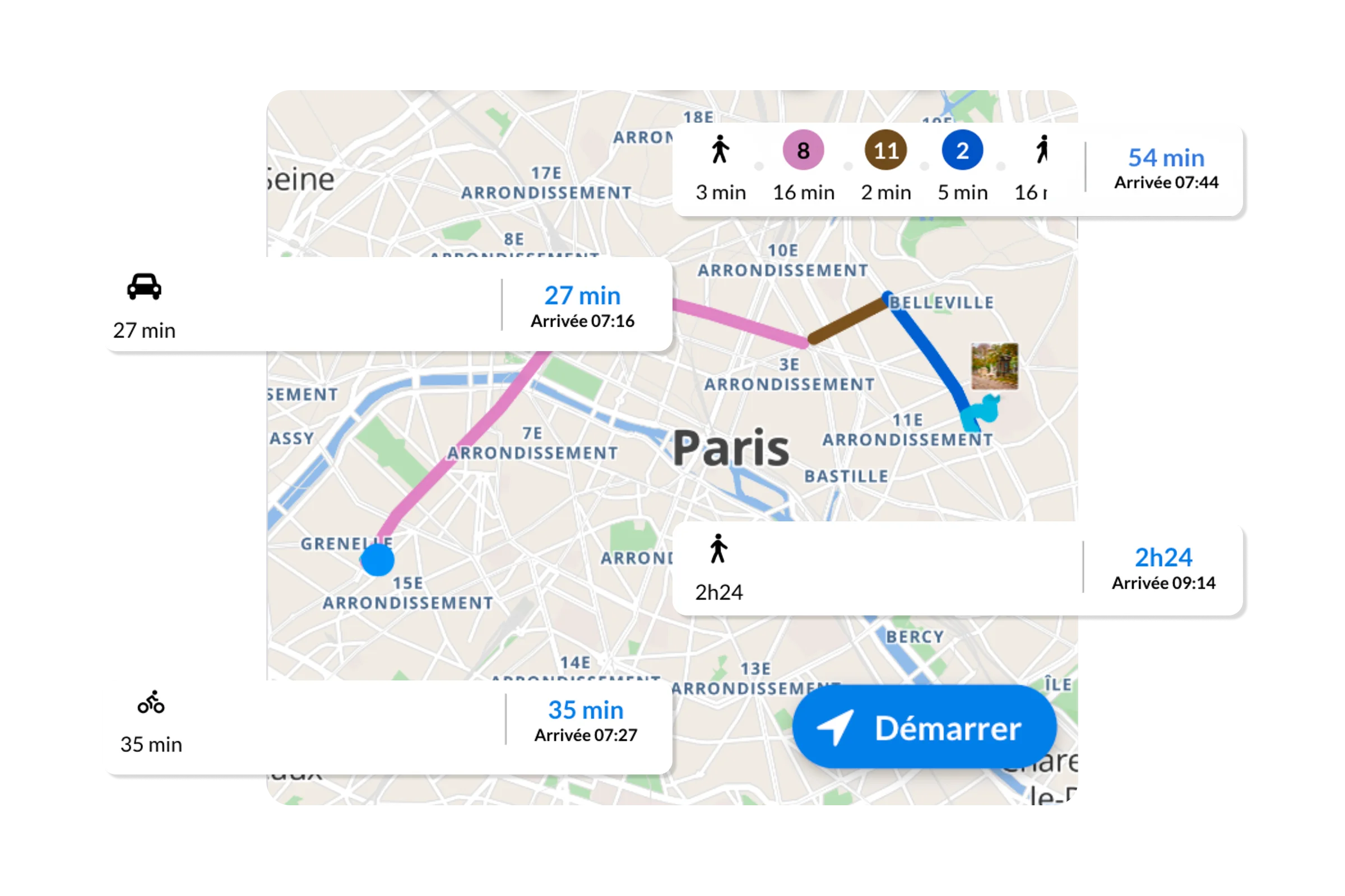
Multimodal routing engine — pedestrian, bicycle, car, public transport. Calculates the optimal route in milliseconds using an indoor and outdoor graph, starting from the current location or any departure point.
Clients
SNCF · Keolis · RATP
< 100ms 1
calculation on complex indoor and outdoor graphs
Step-by-step navigation
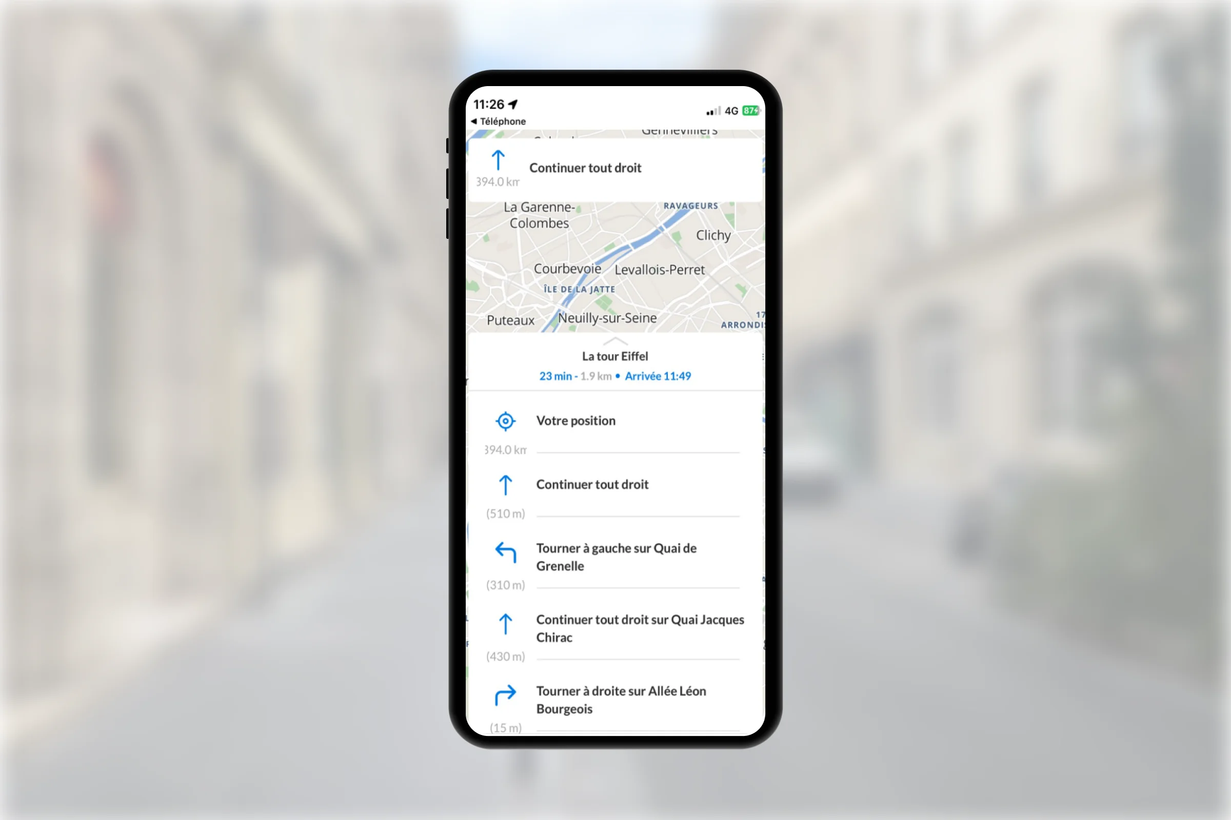
No-code guidance module: features dynamic instructions in multiple formats (arrows, text, audio), handles floor changes and building entry/exit, performs dynamic recalculation in the event of a deviation, and provides access to a step overview.
Clients
SNCF · Keolis · NMBS/SNCB
Real Time
real-time recalculation on deviation or disruption
Multi-profile
The same routing engine serves multiple profiles simultaneously—general public, staff, VIPs, and people with reduced mobility—allowing you to define navigation rules and profiles at will. You make specific options available to your users.
Clients
Roland Garros · Paris 2024 · SNCF Gares & Connexions
3
profiles managed simultaneously — athletes / staff / public (Paris 2024)
Accessibility
Routes and experiences personalized according to user needs, usage patterns, and constraints: a profile for people with reduced mobility available by default, native audio guidance for the visually impaired, and integration with accessibility specialist partners.
Clients
Fondation Rothschild Evelity · TCL/Sytral Evelity · Ezymob
98%
of users find guidance useful — Keolis Nancy
See our accessibility partners (Ezymob, Okeenea, Streetnav) →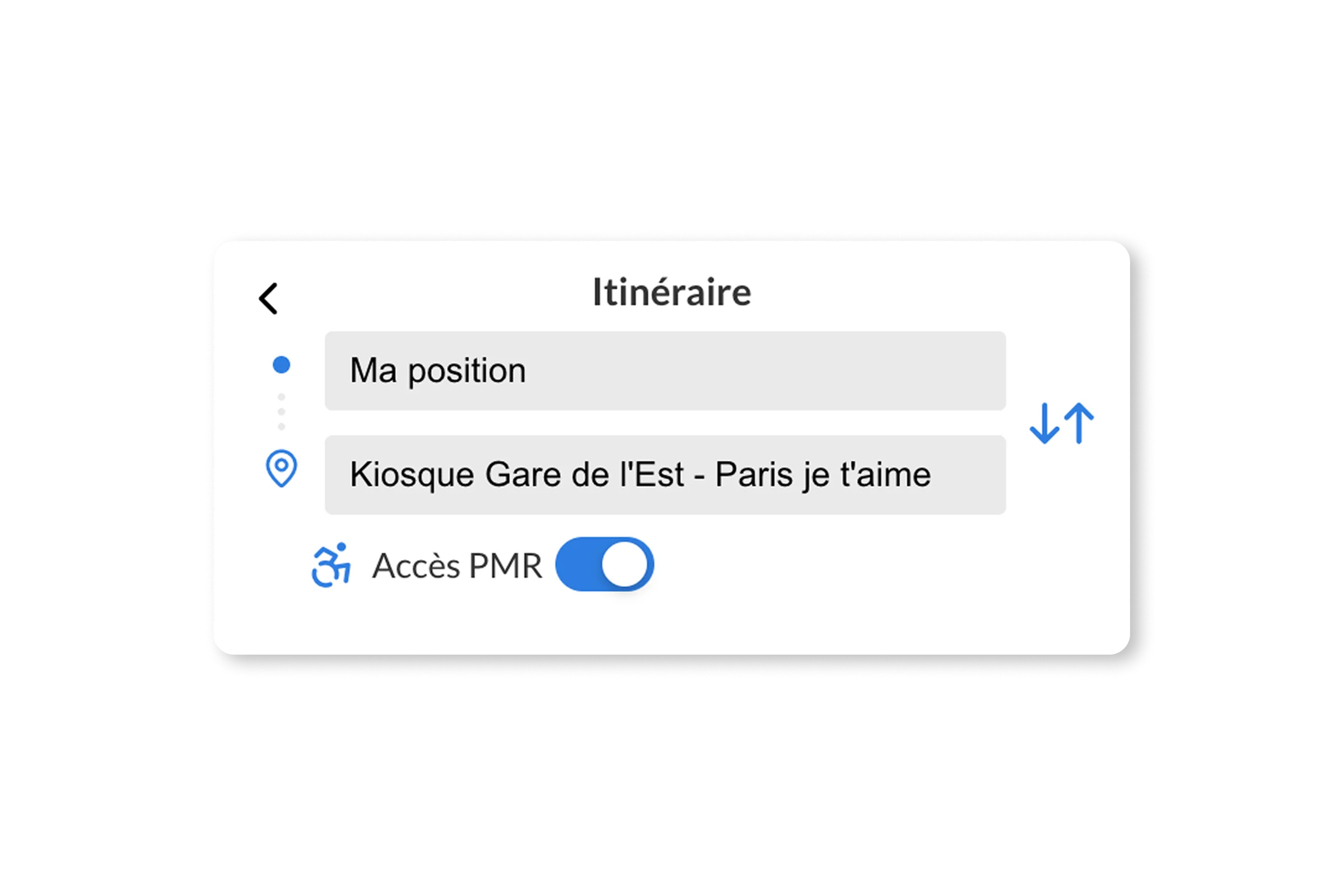
Pedestrian
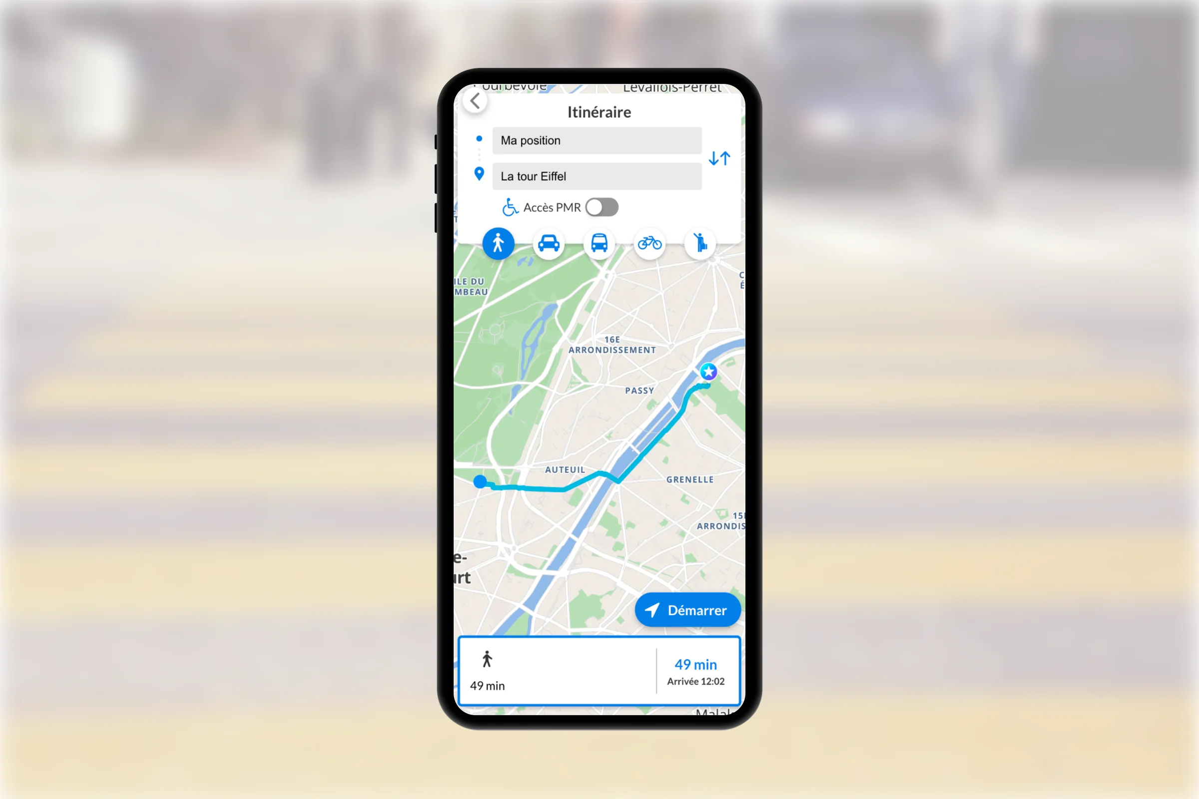
Routing profile dedicated to walking—pedestrian paths, protected crossings, and configurable walking speed. Prioritizes safe areas and the shortest routes for pedestrians. Global coverage with OpenStreetMap and private networks (closed sites, indoor environments, etc.).
Clients
OTCP · Terres de Seine · Ville de Colmar
40+
thematic pedestrian trails — OTCP
Cycling
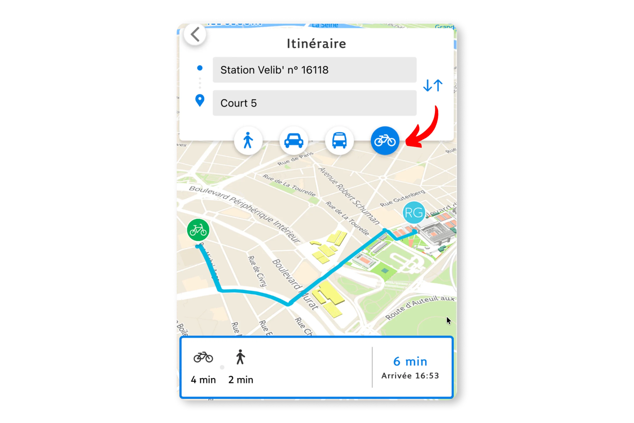
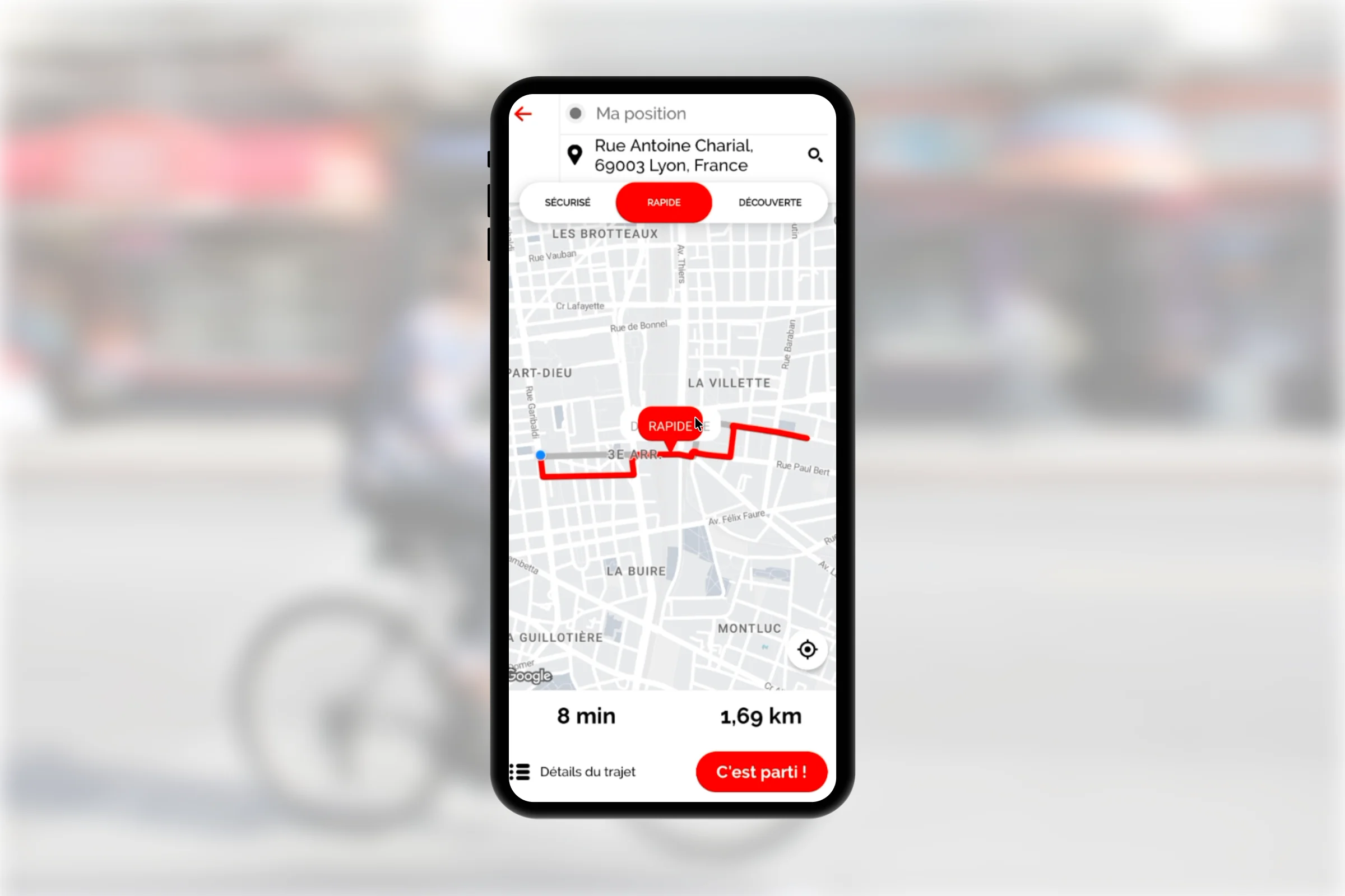
Cycling profile — prioritizes bike lanes, avoids roads where cycling is prohibited, factors in self-service bike-share stations, and highlights points of interest along the route.
Clients
Département du Nord · Toulouse Métropole · CCI Paris Île-de-France
100%
of the territory's cycle lanes accounted for
Public transit
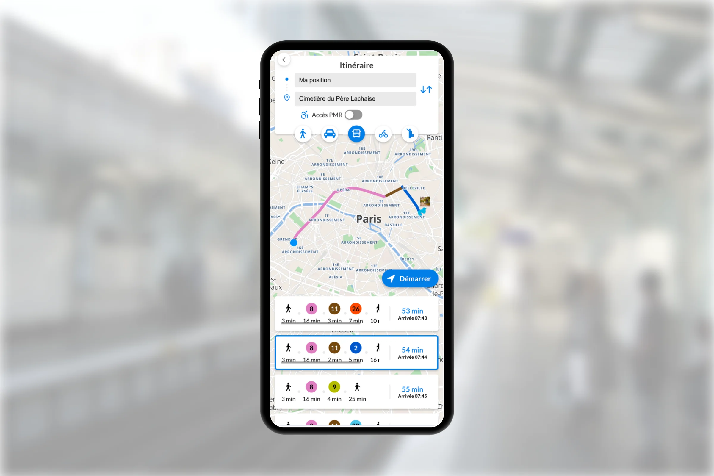
GTFS integration — lines, stops, real-time schedules (GTFS-RT), automatically calculated connections. End-to-end combined walk + transit routing.
Clients
Paris Tourisme · IPP · Keolis
300+
journey completed without leaving your site.
AR navigation
Simplify wayfinding with an immersive experience: augmented reality instructions and relative directional arrows, available in both web and native formats. Offline mode available.
Clients
Keolis Nancy · Ville de Colmar · JCDecaux
98%
find AR useful — Keolis Nancy
Native, web and offline
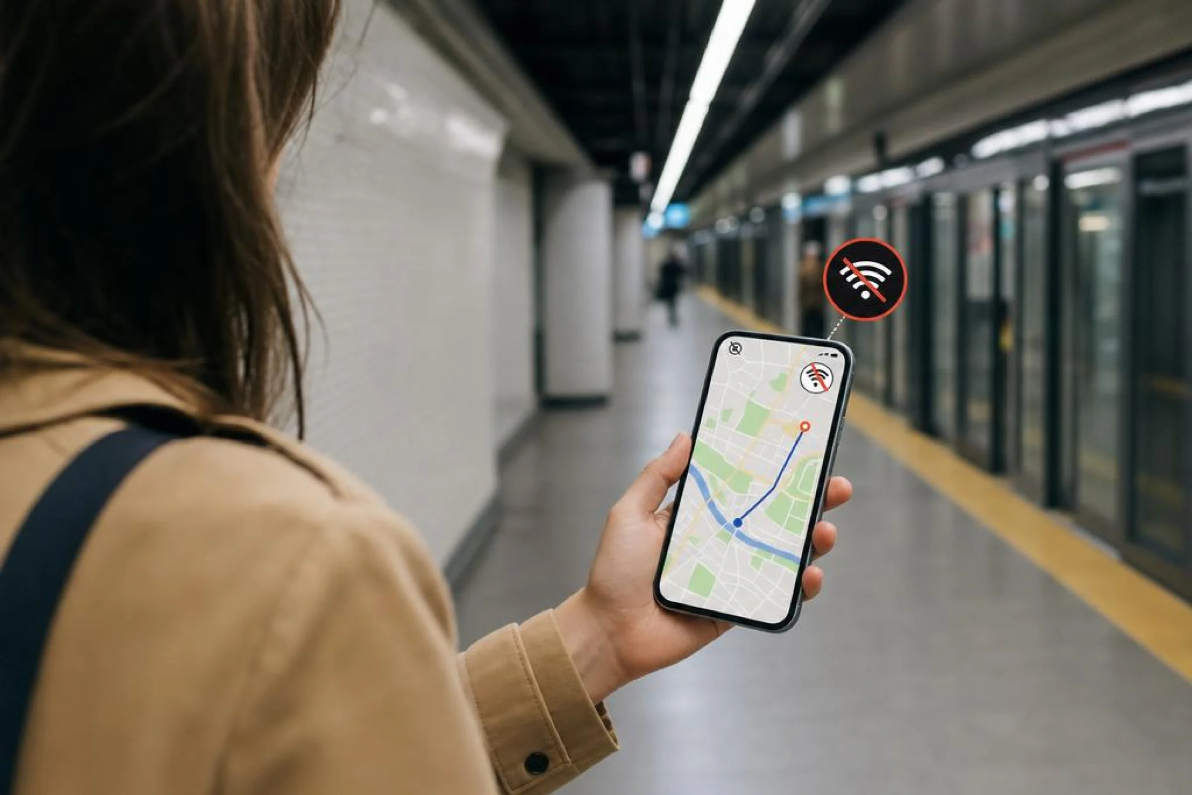
Routing engine and route data integrated locally within your app—providing full guidance without an internet connection, which is essential for underground areas (subways, stations, underground shopping complexes). Available via native iOS, Android, and Flutter SDKs, or as a lightweight web integration using JavaScript.
Clients
ACO (24h du Mans)
100%
Offline capability for areas with no coverage or network congestion
Tools & API
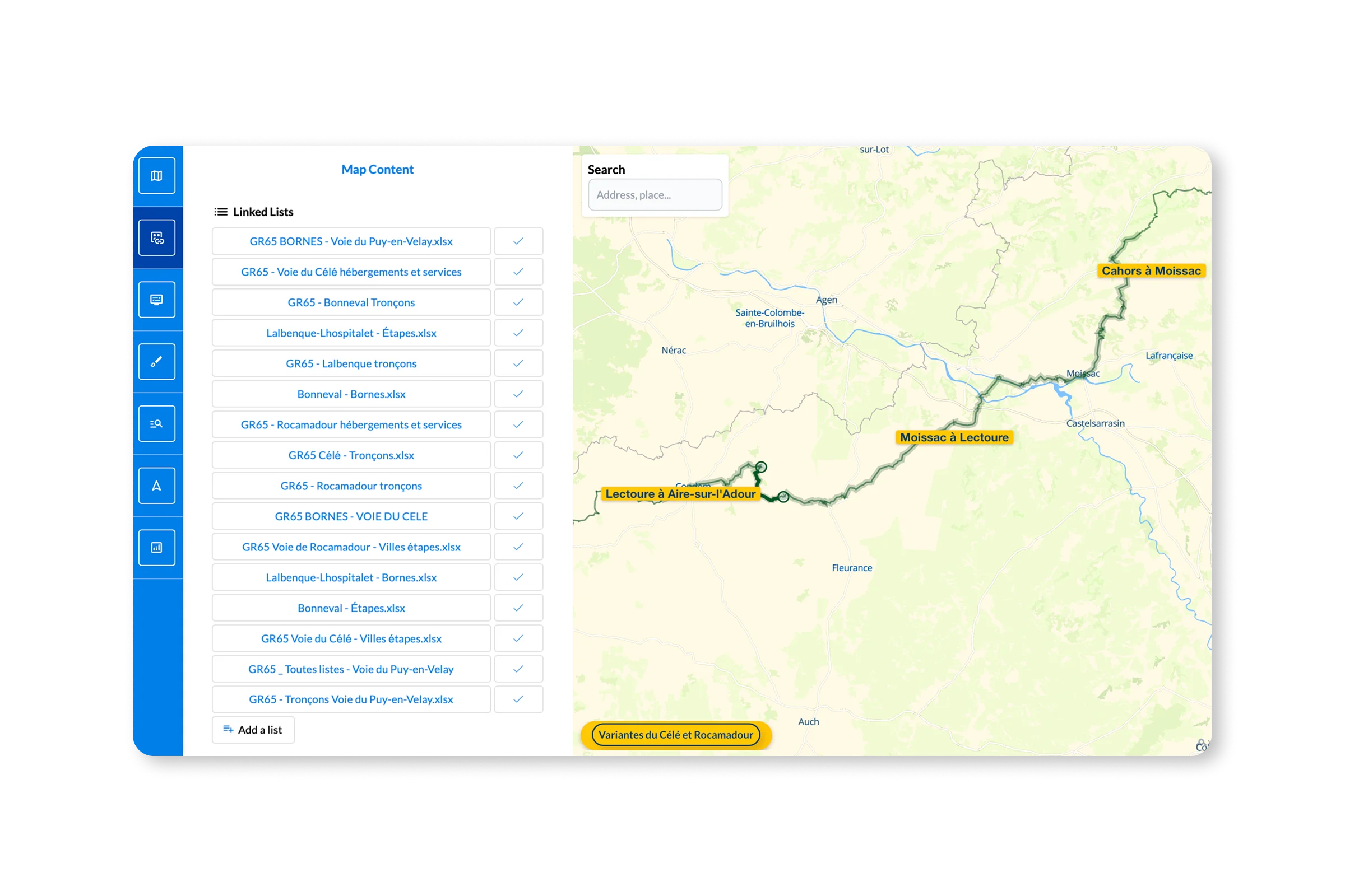
The Wemap Pro route editor features tools to generate, import, or plot routes point-by-point—without writing a single line of code. The REST API allows you to use routing and instructions in your chatbots and other conversational interfaces.
Clients
Guides Petaouchnok · Les Plus Beaux Villages de France
40+
hand-drawn trails published via Wemap Pro
UNDER THE HOOD
Routing engine — open, multimodal, precise.
Built on OpenStreetMap data and our proprietary indoor graphs. Native GTFS integration for public transit. Optimised Dijkstra algorithm for sub-second calculations.
"Indoor + outdoor seamless"
Seamless indoor-outdoor transition — guidance doesn't stop at the entrance door.
"GTFS natif"
Real-time public transit schedules integrated. Connections, delays, line-level accessibility.
"Optimised Dijkstra"
< 1 second calculation on 500,000-node graphs. Offline-first: graph embedded in the app.
Proprietary indoor graphs
·
OpenStreetMap
·
GTFS & GTFS-RT
·
Label France 2030
The choice of regulated transport operators — SNCF, RATP, Keolis — for PMR, real-time and offline constraint management.
CASE STUDIES
Adopted by transportation leaders
 Rail transport
 Step-by-step guidance in 40+ equipped stations — connections, accessible routes, dynamic recalculation on disruption.
300+
stations connected
 Transport
 Pedestrian AR navigation during major network changes. GTFS data, voice instructions, outdoor guidance.
98%
of users find AR useful
ACCESSIBILITY & STANDARDS
Built for the most complex environments.
Universal accessibility
From the general public to wheelchair profiles, from audio guidance for the visually impaired to offline navigation for off-network areas — we strive to address the largest number of needs.
"Wemap routing is the choice of many transport operators — SNCF, RATP, Keolis — and accessibility stakeholders."
Standards & compliance
Accelerate your compliance with European regulatory requirements and transport data interoperability standards.
- EN 17210 (building accessibility)
- GTFS & real-time (GTFS-RT)
- WCAG 2.1 AA
- Offline-support (underground areas)
- GDPR
Ready to deploy navigation across your spaces?
Documentation, sandbox, pilot in 2 weeks.