Wayfinding, navigation and spatial AI for university campuses and colleges
Guide students, visitors and staff across your buildings — multi-building indoor/outdoor navigation, campus life management and accessibility.
CASE STUDY
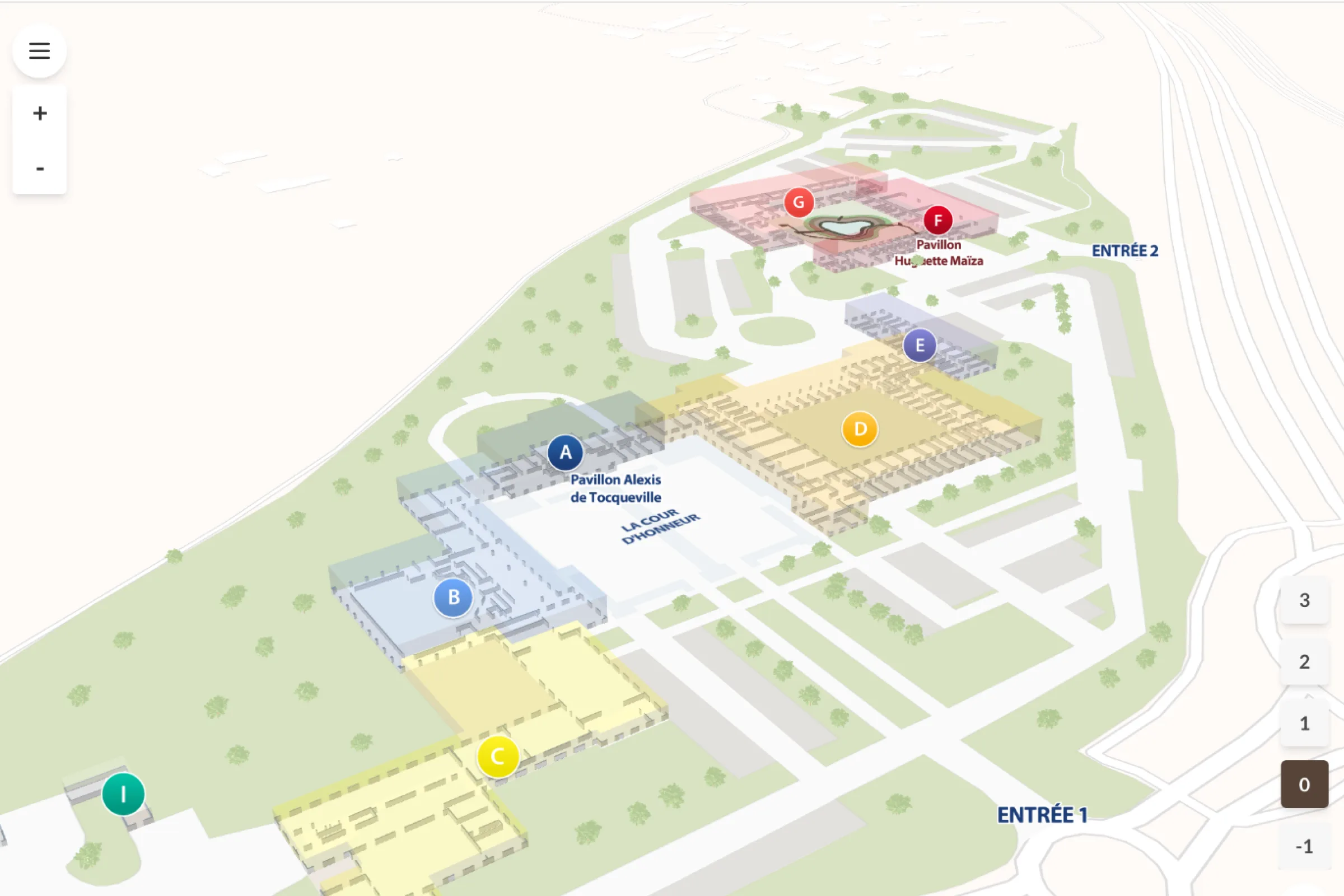
The Paris Polytechnique Institute deployed Wemap on its multiple campuses to guide thousands of new students each year between lecture halls, libraries and residences. The map is also reused for open days, with points of interest updated independently via Wemap Pro.
See all case studies →20+ buildings
wayfound on a single campus, indoor and outdoor
Native accessibility
configurable accessibility profiles for every audience
500 000 m2
principal campus total area
Orientation week peak
map ready for the orientation-week rush and open days
CHALLENGES
Three campus challenges that Wemap solves.
Students lost on campus
"Every year, thousands of applicants and new students get lost between buildings and lecture halls."
Wemap guides students and visitors from building to building, indoor and outdoor, with a single step-by-step route. No break between outdoor and indoor.
Stands hard to find
"During open days, our visitors can't find the stands or presentation rooms."
Wemap Pro lets you publish a temporary event map — stands, rooms, schedules — in hours, with no code. Updated independently by the team.
Inconsistent accessibility
"We can't guarantee a consistent accessible route across a campus with several generations of buildings."
Wemap offers configurable accessibility profiles — stair avoidance, lift and ramp priority. A single deployment for the whole campus.
CAPABILITIES
The Wemap capabilities that make the difference in Higher Education.
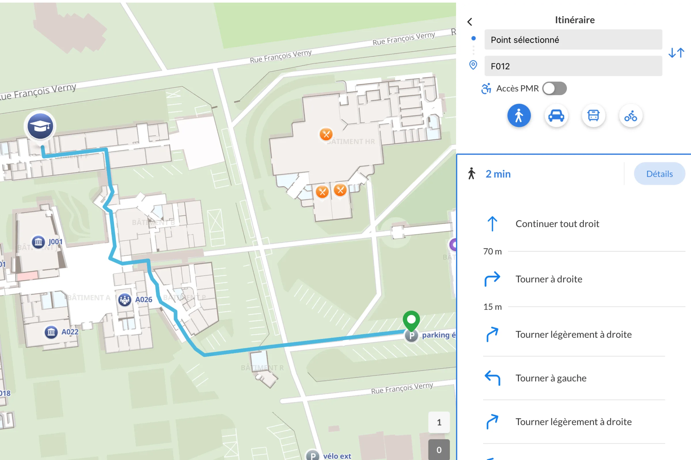
Multi-building indoor & outdoor navigation
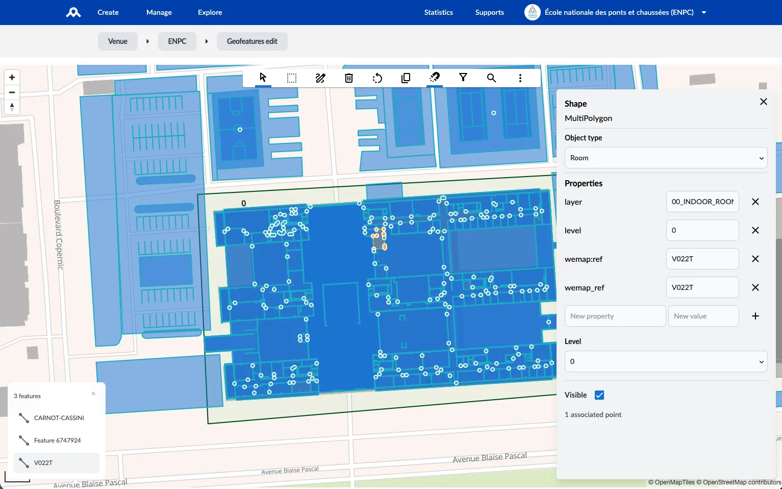
Georeferenced indoor maps of every building — lecture halls, classrooms, libraries, services — linked by outdoor route calculation between buildings. Multi-profile (students, visitors, staff), native multi-floor, full accessibility.
For a large university campus — seamless wayfinding across multiple buildings, differentiated student/visitor/staff profiles.
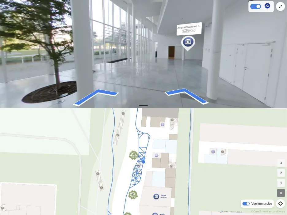
Improved accessibility
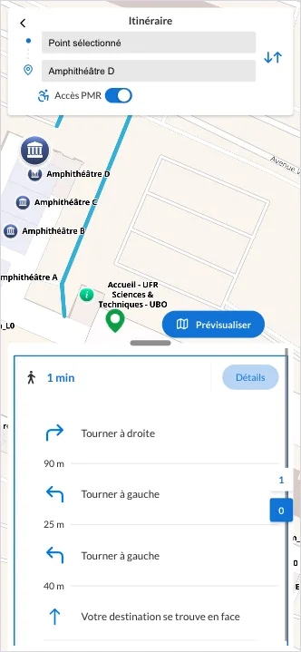
Indoor and outdoor vision-based positioning and step-by-step guidance featuring accessibility profiles (for people with reduced mobility) and audio instructions. Developed in collaboration with leading accessibility experts and integrated into multi-site applications.
For two regional university campuses, the implementation of tailored routes based on OpenStreetMap data.
Dynamic data and information – automatic updates
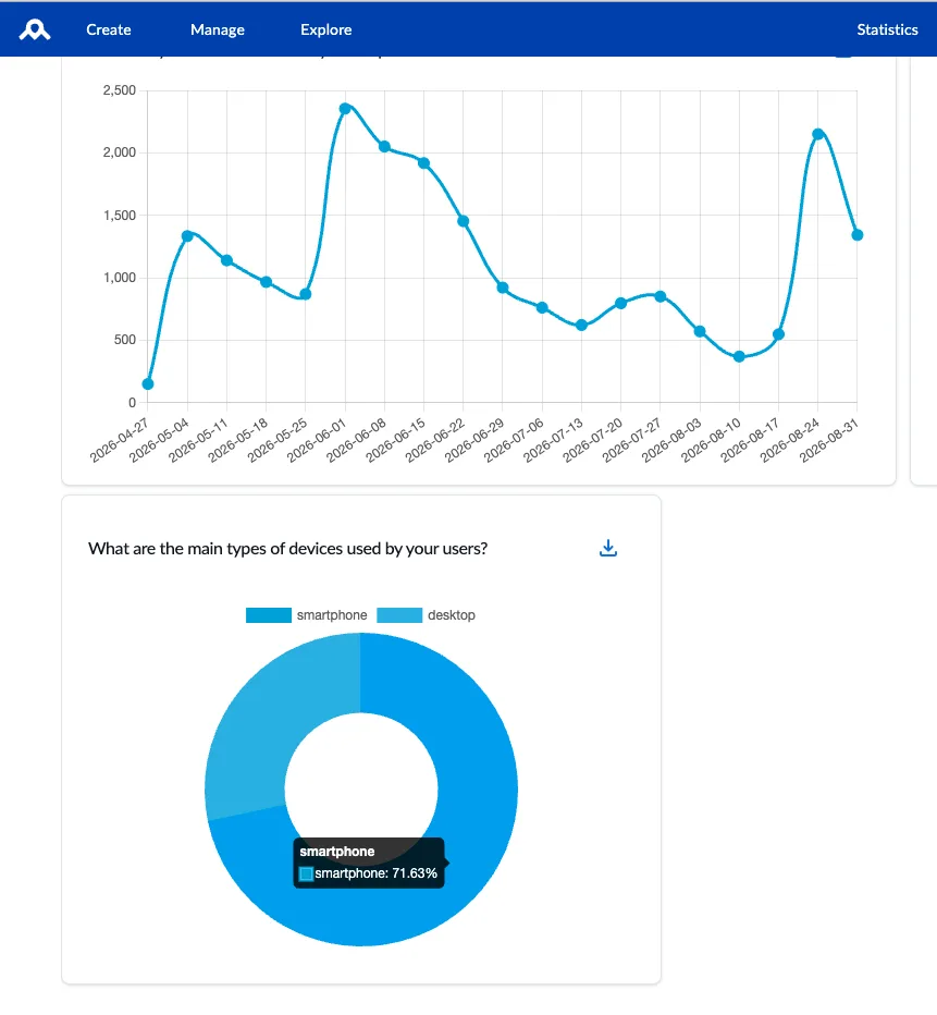
Integration with educational information systems (LMS) to automatically update maps with campus room and activity details. Real-time data for site access (public transport). Map updates and customization for specific events (open days, forums, etc.).
For campuses in the Île-de-France region: public transport access routes with real-time departure times.
Multi-channel deployment
Your interactive maps and associated services are deployed within your campus applications and on your websites. They are customized for different user profiles, usable in print format, and integrable by your partners (via iFrame or deep-linking APIs) to reach the widest possible audience.
For our partner Edusign, the Wemap SDK made it possible to integrate campus maps into a student app in just a few hours.
REFERENCES
Education & Campus — use cases.
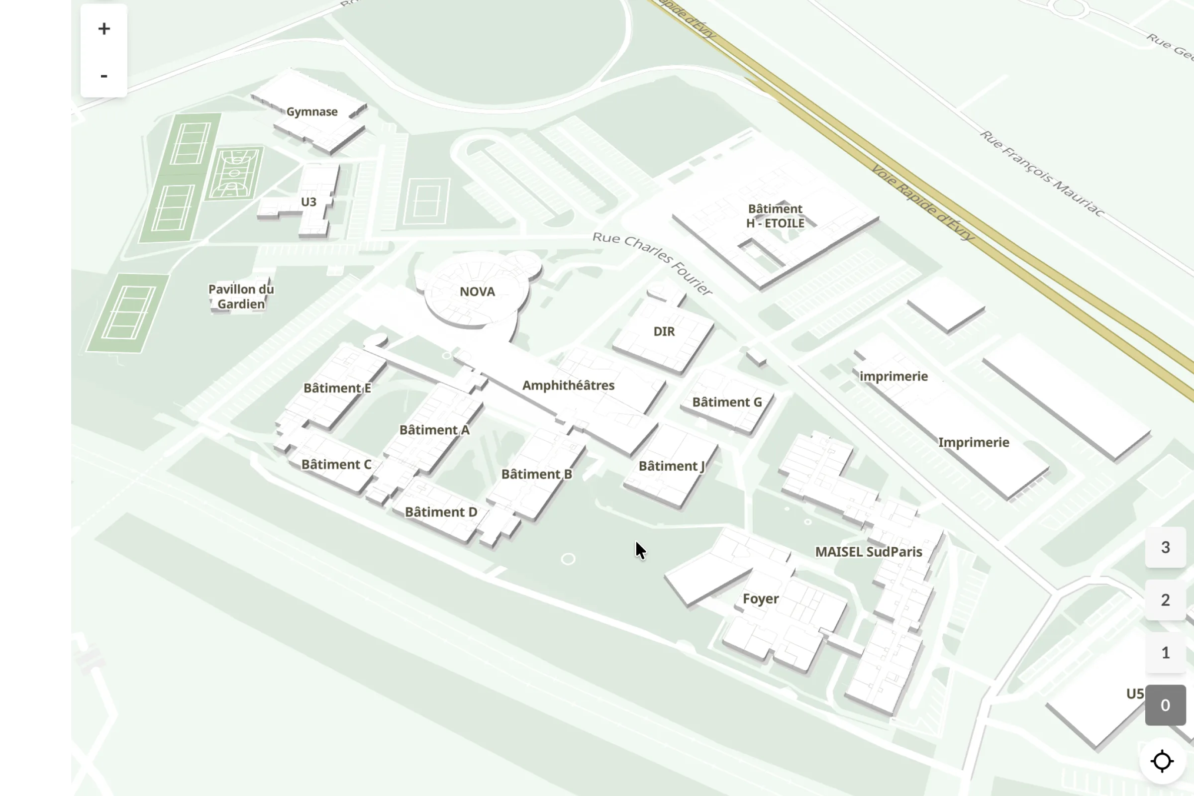
Multi-campus
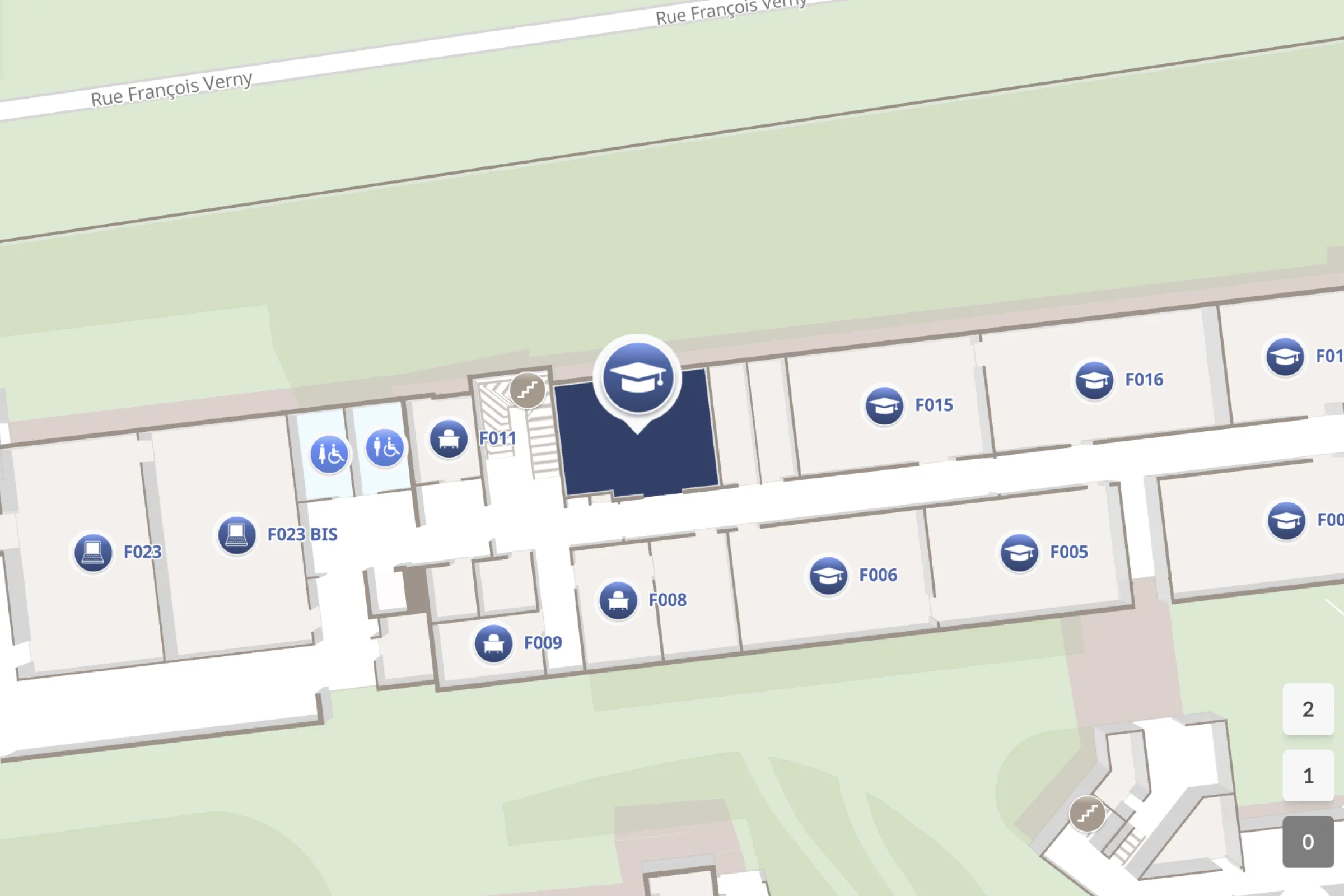
Multi-campus wayfinding for incoming students — indoor maps for each school, outdoor routing between sites.
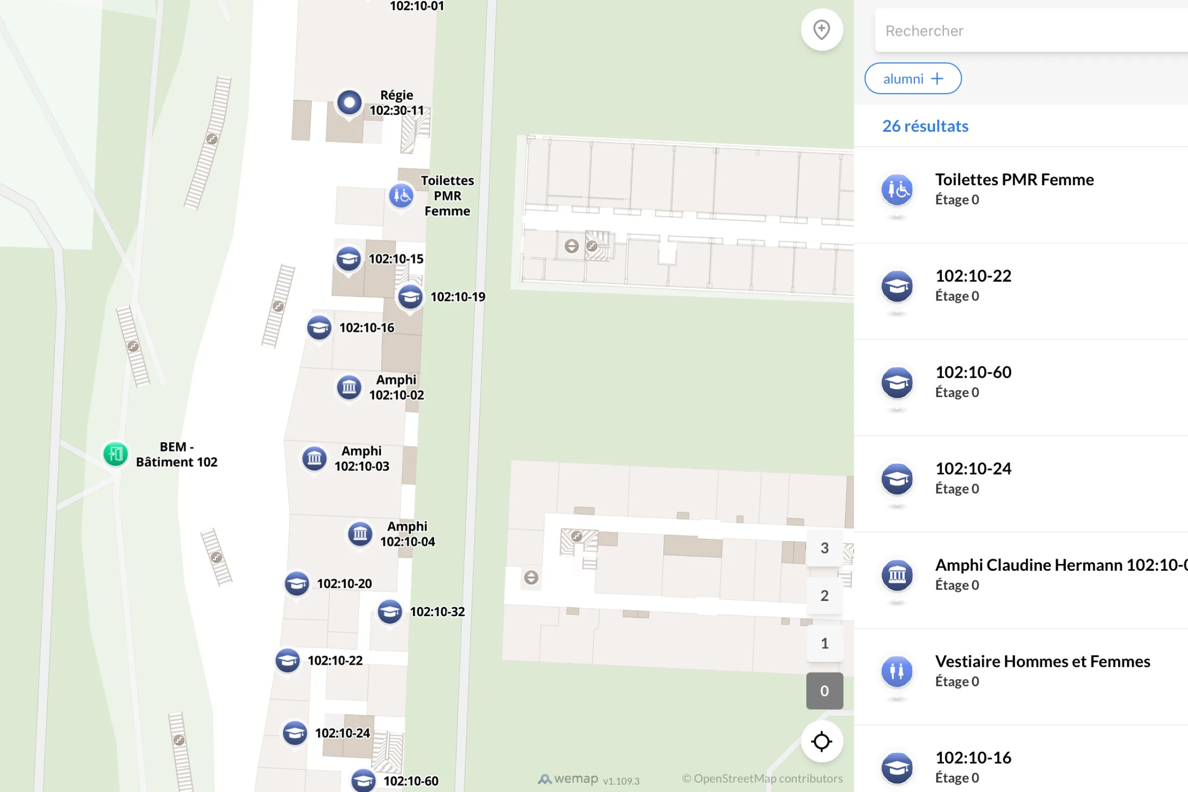
Room-level guidance
Indoor maps of faculties and libraries — room search by name or number, step-by-step guidance.
Event map
Event map for an open day — stands, presentation rooms, schedules published via Wemap Pro.
Accessible routes
Accessible routes between residences, university restaurants and campus sports facilities.
Ready to guide your campus from the next intake?
30 minutes with our team—bring your challenges, and we’ll provide immediate, field-proven answers.