Mapping and digital services for local government
Showcase your facilities, guide your citizens and manage your territorial data with a sovereign platform, made in 🇪🇺.

 Toulouse Métropole
CASE STUDY
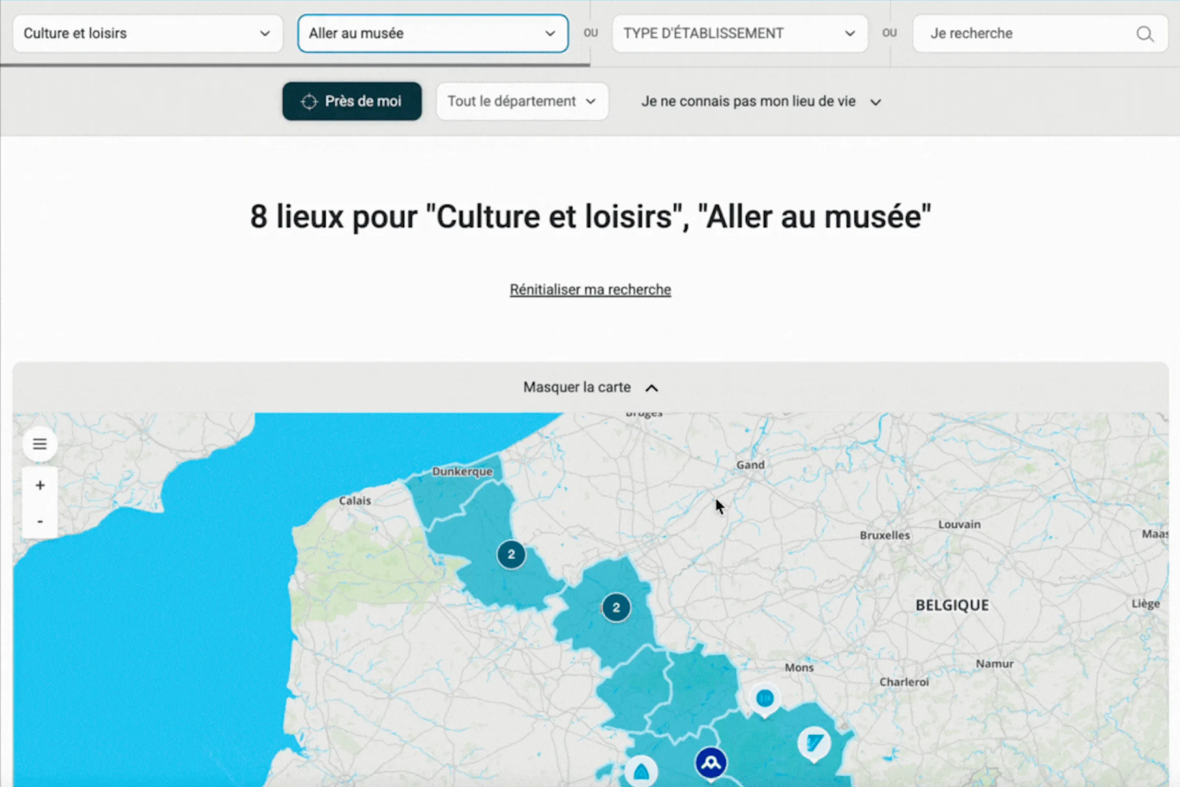
The Département du Nord mapped 10,000+ territorial facilities on an interactive map connected to its internal database. Citizens find public services, sports and cultural facilities nearby — automatic synchronisation, JS SDK connection, high-performance clustering.
See all case studies →10,000+
facilities mapped for Département du Nord — database connection
EU sovereign
French platform, on-premise and private cloud available, native GDPR compliance
CHALLENGES
Three Public Sector challenges that Wemap solves.
Public services hard to find
"Our citizens don't know where to find public services near them — the website is hard to navigate."
Wemap turns your territorial data into an interactive service locator — services, facilities, town halls, libraries — with clustering and full-text search. 10,000+ facilities for Département du Nord.
Data never up to date
"Our parking and facility data changes constantly — impossible to keep our map up to date."
Wemap Pro connects directly to your database or API to sync data in real time. Real-time car park availability — Ville de Nîmes.
Sovereignty constraint
"We must use sovereign tools — no Google Maps, no dependency on a US cloud."
Wemap is a French-operated, EU hosted platform, backed by Bpifrance and France 2030, on-premise available, native GDPR compliance, zero GAFAM dependency. Already chosen by ministries and local authorities.
CAPABILITIES
The Wemap capabilities that make the difference for the Public Sector.
Facility mapping & digital service desk
Interactive territory map with 10,000+ facilities: public services, sports, cultural, educational facilities, car parks. Direct connection to your internal database or ERP. High-performance clustering, dynamic filters, full-text search. Real-time data (availability, opening hours, incidents). JS SDK integration on your existing website.
For Département du Nord — 10,000+ territorial facilities, database connection, JS SDK integration, automatic synchronisation.
Construction maps & dynamic diversions
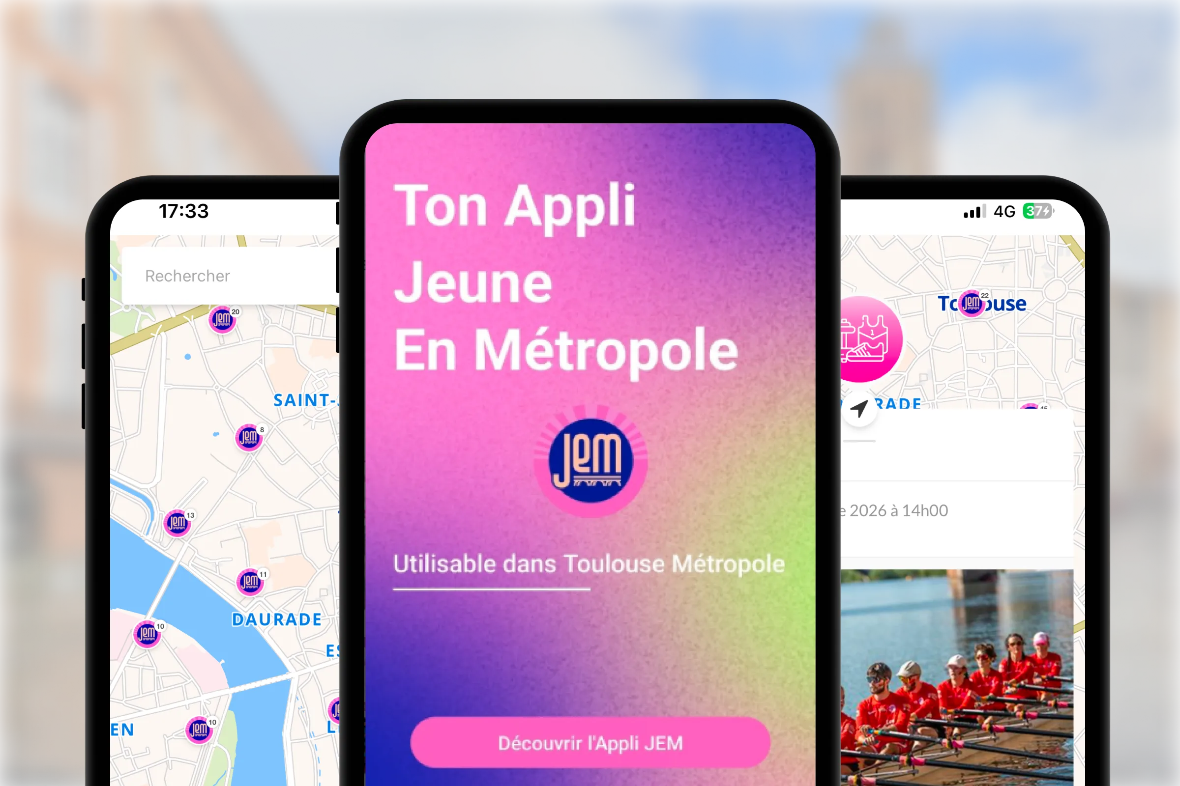
Construction and diversion maps updated in real time to guide pedestrians and cyclists. Construction zones visualised on the city map. Accessible routes automatically recalculated. Proactive citizen communication via shareable maps on social networks and QR codes.
For Toulouse Métropole and several local authorities — interactive construction maps, alternative routes, digital communication with residents.
REFERENCES
Local Government & Public Sector — our references.
10,000+ facilities
10,000+ territorial facilities — internal database connection, JS SDK integration, automatic synchronisation.
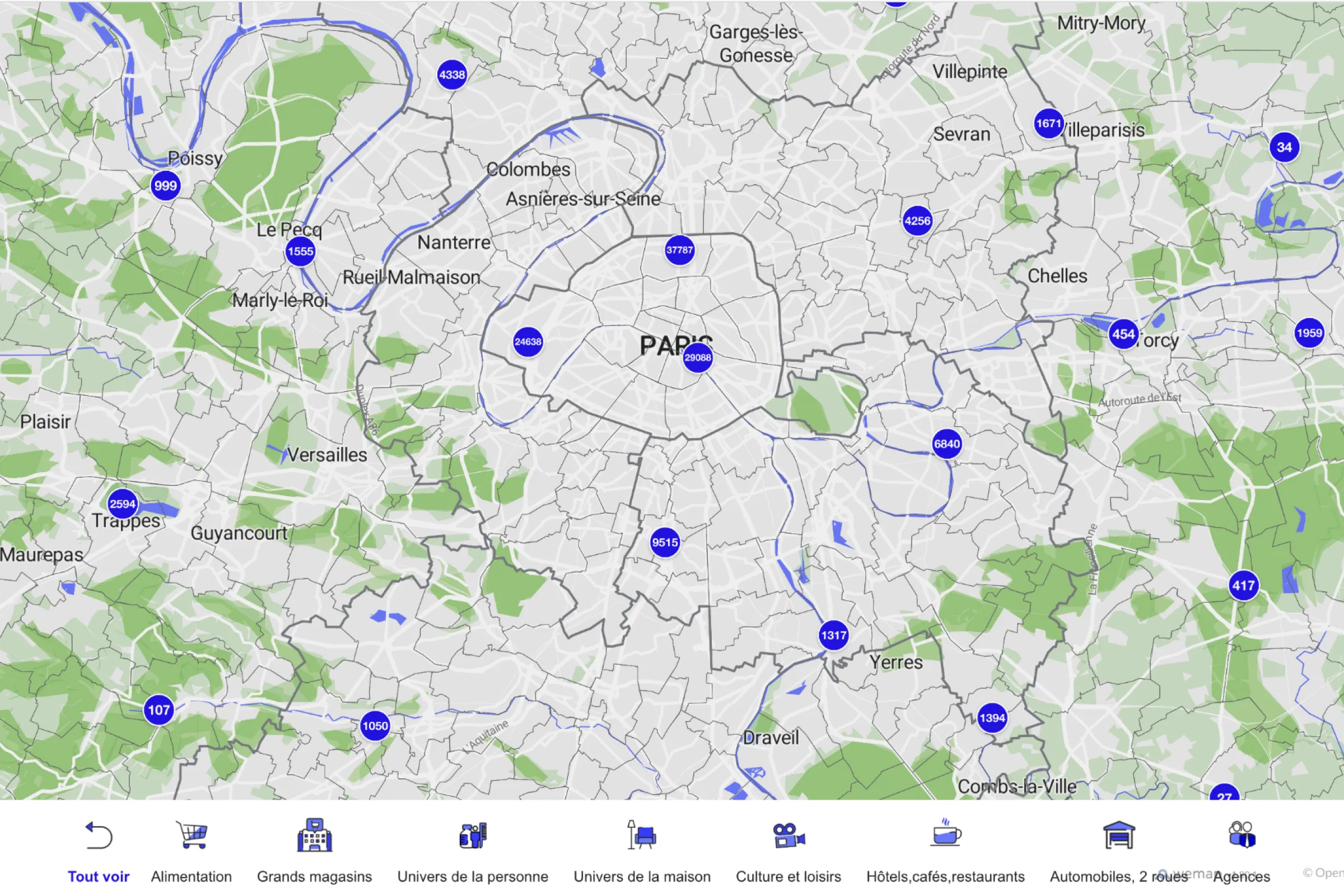
150,000+ POIs
150,000+ POIs, high-performance clustering, dynamic filters, deployed for all municipalities in the region.
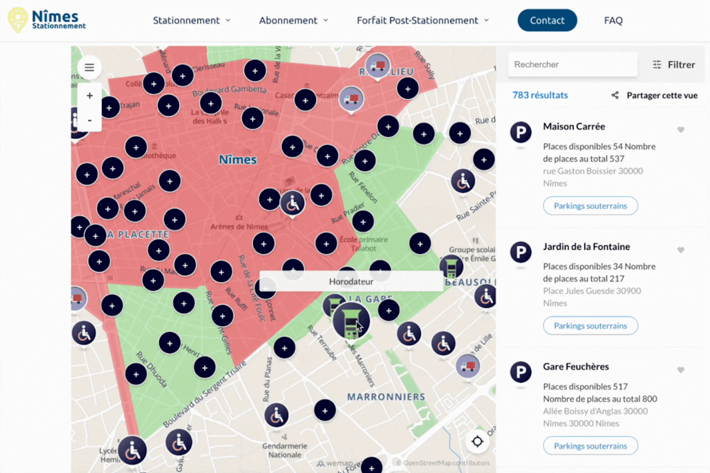
Real-time parking
Interactive parking map with real-time car park availability — guidance to free spaces.
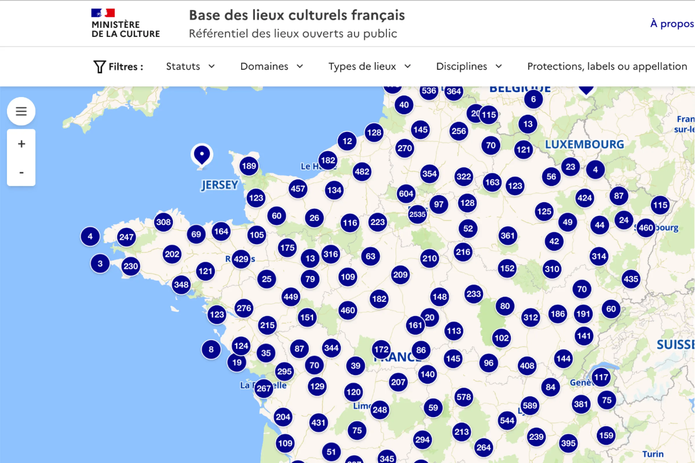
Territorial actions
Multi-account information maps, territorial actions, 1st FranceTechTourisme cohort at Station F.
Ready to map your territory and serve your citizens?
30 minutes with our team — bring your constraints, we bring immediate responses from your sector.