Precise indoor positioning — no beacons, no infrastructure.
The Positioning SDK exposes Wemap's visual positioning engine: 1–3 m accuracy, acquisition < 1 second, fusion across 6 signal sources. REST API + native SDK for iOS, Android, Flutter, React Native.
From 360° capture to blue-dot — 4 steps.
A consumer 360° camera scans the space, at high speed. No proprietary equipment required.
360° images produce a lightweight point cloud — 10× lighter than LIDAR-based solutions. Secure EU cloud processing. No images retained for positioning.
At runtime, the phone captures one image and matches it against the point cloud. Absolute position computed in < 1 seconds. Can work fully on-device.
The absolute fix is injected into a relative positioning engine (IMU + PDR + map-matching) that maintains a continuous position between VPS recalibrations.
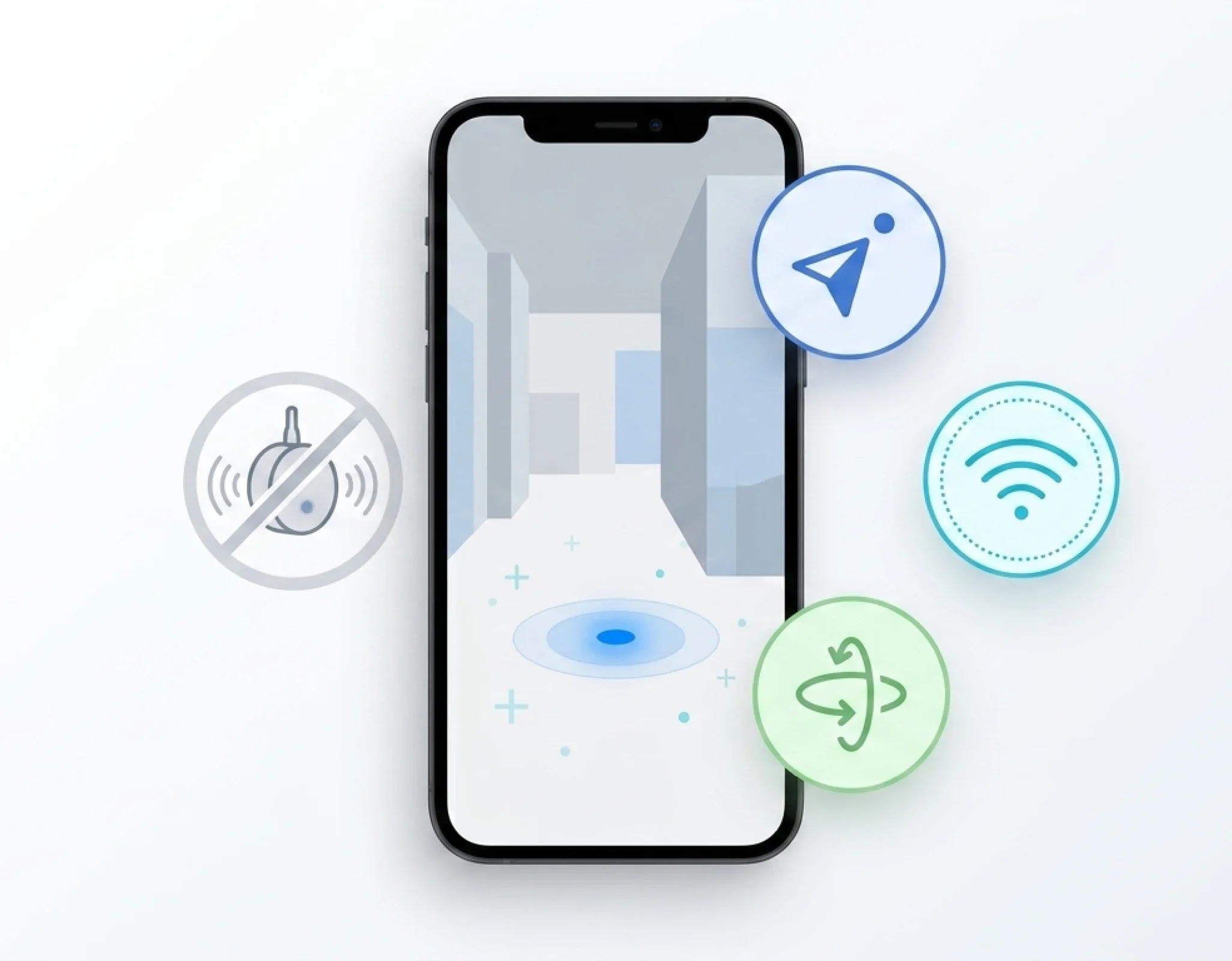
A fusion engine that aggregates 6 signal sources.
The accuracy and continuity of the blue-dot don't come from a single technology — they come from fusing every signal source available on the device.
Reference position computed by matching against the point cloud — recalibrated every X seconds. Primary source of absolute accuracy.
Outdoor anchor, GPS or VPS. Seamless indoor ↔ outdoor transition. Used as an absolute reference whenever the signal is available.
Reinforcement signal in transition zones if BT is available. Not required — improves convergence in high-density Bluetooth environments.
Complementary reinforcement signal. Not required. No dedicated WiFi infrastructure needed — the existing network is sufficient.
Continuous motion tracking between VPS recalibrations. Real-time displacement integration keeps the blue-dot smooth and uninterrupted.
Pedestrian constraint: step detection, distance estimation, floor-plan coherence. Prevents physically impossible drift.
Performance and platform coverage.
Performance
| Absolute position accuracy | 1 – 3 m |
| Acquisition time (VPS) | < 1 sec |
| Update frequency (fusion) | Real-time continuous |
| Point cloud size | 10× lighter than LIDAR |
| Deployment capacity | > 100 sites / month |
| API SLA | 99.9% |
| Requests processed | 500 M / month |
Platforms & SDKs
| Platform | SDK | Status |
|---|---|---|
| iOS (Swift) | PositioningSDK | Available Available |
| Android (Kotlin + ARCore) | Positioning + VPS | Available Available |
| Flutter | wemap_sdk_flutter | Available Available |
| React Native / Expo | React Native SDK | Available Available |
| Web (JavaScript) | Positioning JS | Available Available |
In production in a few lines.
func setupLocationSource(mapData: MapData) {
    let gpsLocationSource = GPSLocationSource(mapData: mapData)
    map.userLocationManager.locationSource = gpsLocationSource
    geoARView.locationManager.locationSource = gpsLocationSource
}fun setupLocationSource(mapData: MapData) {
val fusedLocationSource = AndroidFusedAdaptiveLocationSource(requireContext(), mapData)
mapView.locationManager.locationSource = fusedLocationSource
}MapOptions(
mapID: yourMapId,
token: yourToken,
environment: Environment.PROD,
locationSource: LocationSource.VPS, // or .GPS / .SIMULATOR
)
// Once the map is ready:
mapManager.locateMe();
final position = mapManager.getUserLocation();
mapManager.enableTrackingMode();Not a POC — a production system at large scale.
"Wemap Vision deployed at leading European airport — passenger and staff wayfinding, real-time information, with zero infrastructure to install."— Top 6 global airport group
Security, privacy and robustness as core features.
European hosting, GDPR-native, on-premise available. The hard compliance requirements are resolved before you even ask.
Wemap infrastructure operated by default in France and across Europe. You keep control on your data. Private cloud available.
Relative positioning is 100% on-device. No position coordinates are sent to the server between VPS recalibrations. Full and irreversible anonymization.
No personal data collected, no position tracking, no tracking cookies. GDPR compliance built in by design.
360° images are processed to generate the point cloud, then can be deleted and only the sparse cloud is retained.
Deployable on your private cloud or internal servers. Suited to regulated operators (transport, healthcare, public sector).
Exports in standard formats (GeoJSON, etc.). Data 100% owned by the client. No proprietary lock-in.
Integrate the Positioning SDK into your app.
Full documentation, examples, API reference — everything is at developers.getwemap.com.
Questions? Our technical team responds within the day. pro@getwemap.com