
Interactive 2D, 3D, outdoor and indoor maps — your space, made explorable.
From georeferenced floor plans to global 3D maps, indoors and outdoors. Created via Wemap Pro or integrated via SDK — for all your spaces and all your audiences.
CAPABILITIES
All you need to map your spaces.
Each capability is available via Wemap Pro (no-code) or SDK (developers).
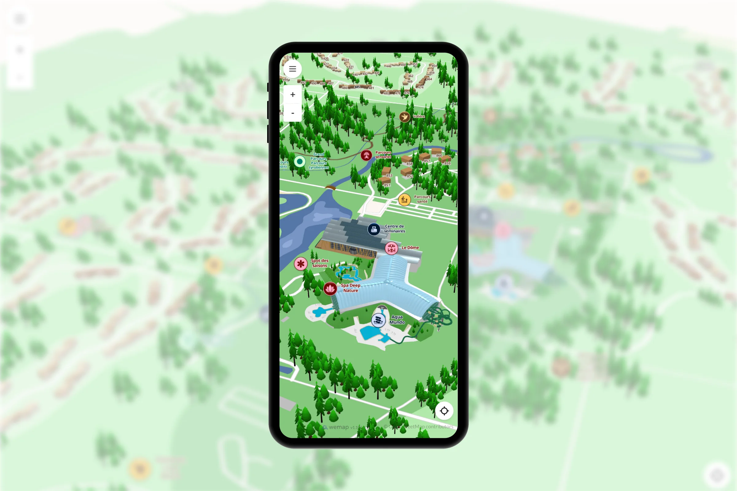
Outdoor mapping
Vector and raster maps based on OpenStreetMap. Advanced styling (Studio), custom backgrounds, additional layers, altimetry, 3D building extrusions.
Clients
Evaneos · Air France KLM · Hachette
200+
clients deployed
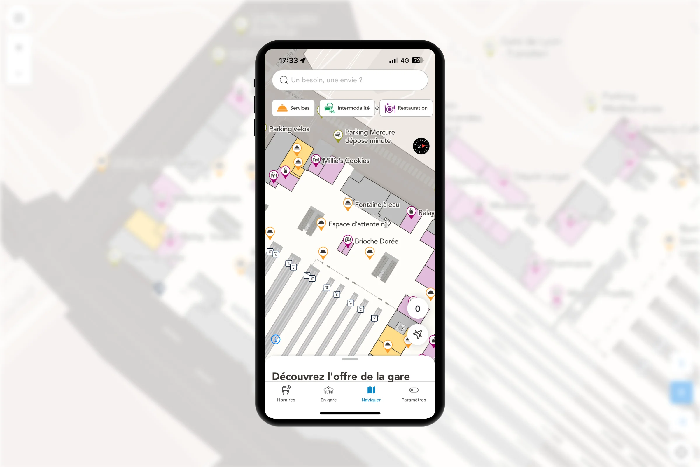
Indoor mapping
Georeferenced building floor plans — rooms, corridors, floors, zones. WYSIWYG editor in Wemap Pro, DXF/SVG/PDF import, native multi-floor.
Clients
SNCF Gares & Connexions · Galeries Lafayette · Roland Garros
300+
stations mapped — SNCF
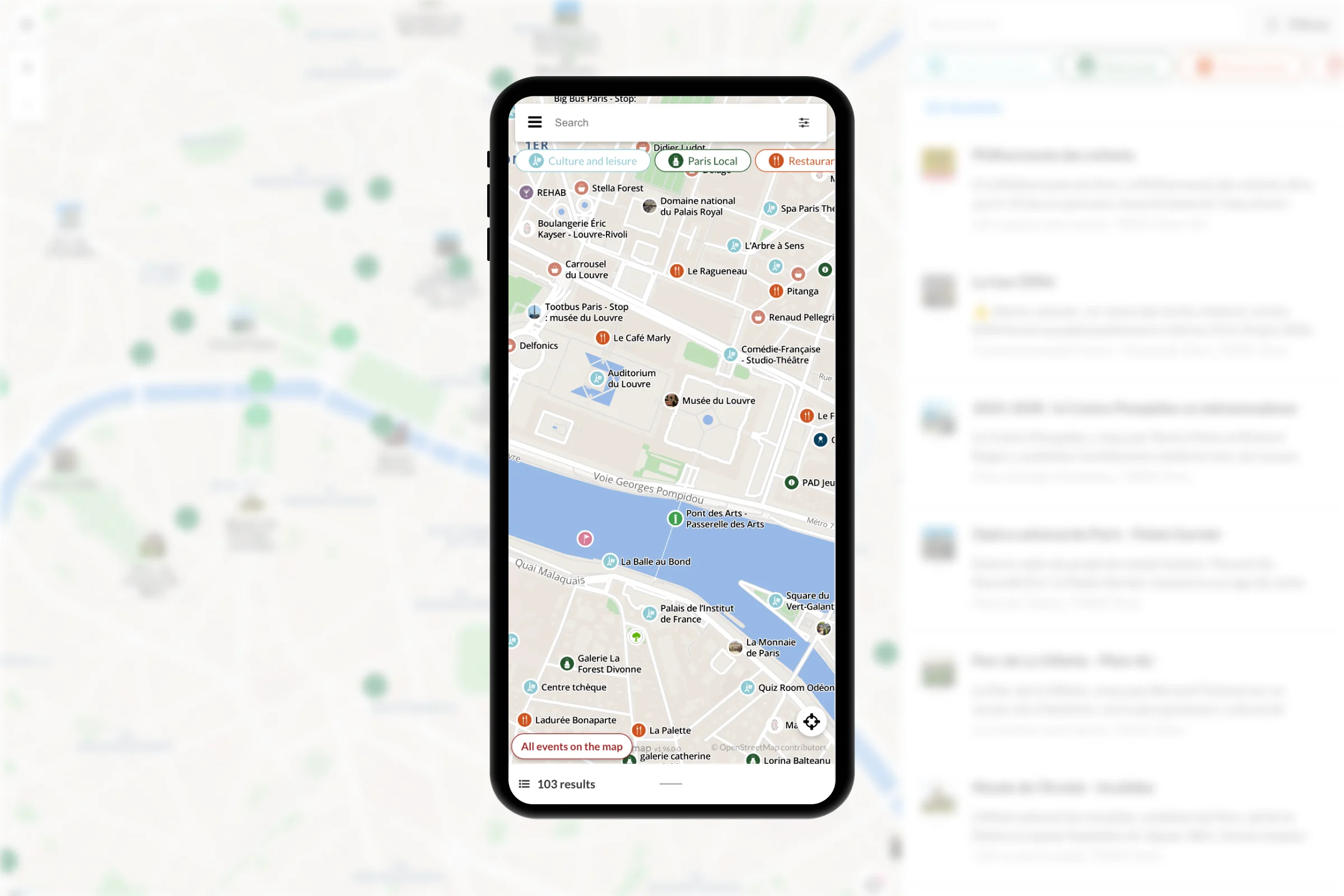
Markers
Geolocated points of interest — open model and rich fields. Advanced styling, collision-free display and advanced clustering at all zoom levels. Synchronization with your existing tools (CMS, ERP, spreadsheets).
Clients
Paris Je T'Aime · Le Petit Futé · Edenred
1 million+
markers on a single map
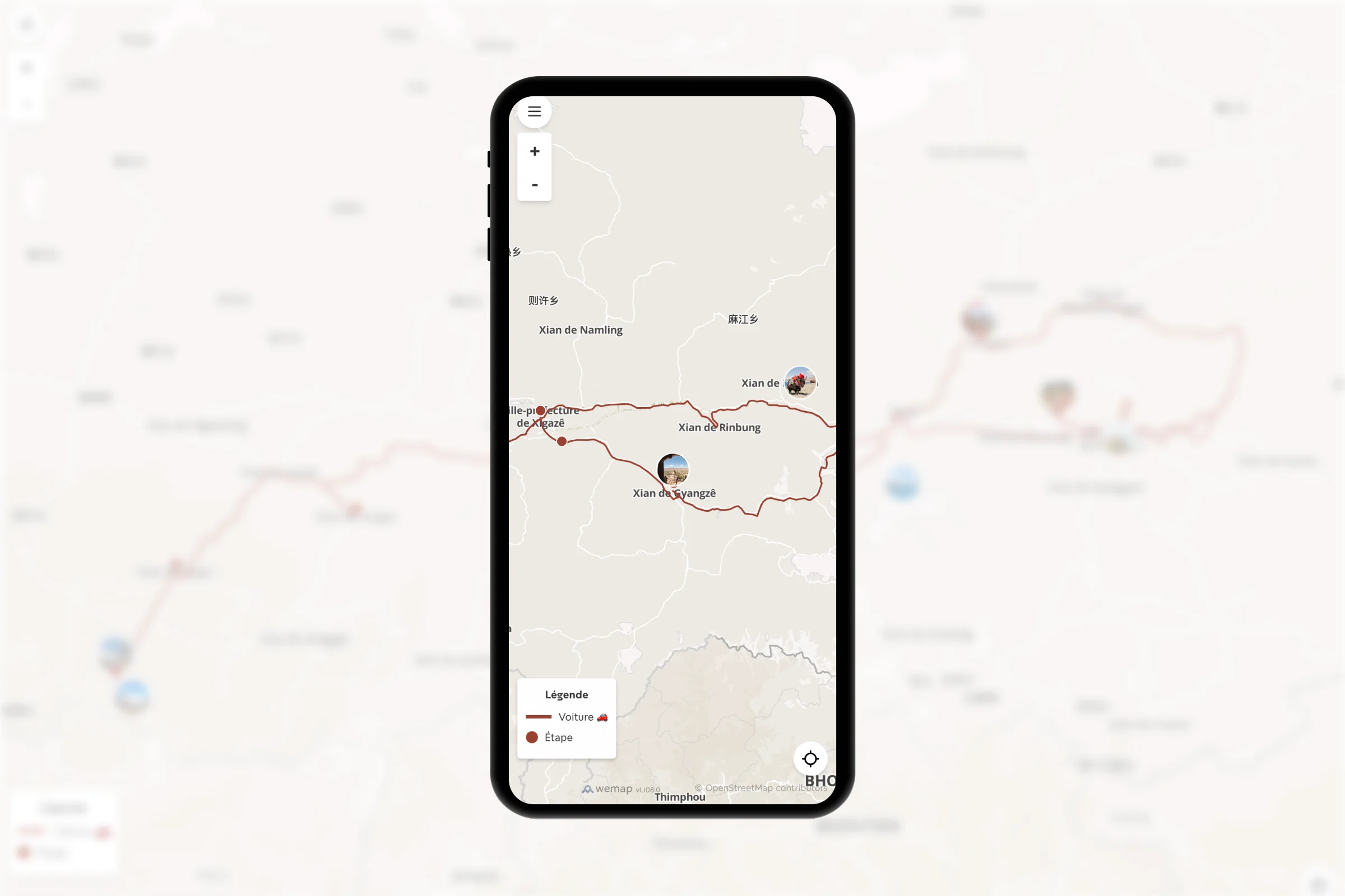
Routes & trails
Rich polylines with steps, associated media, elevation profile, difficulty. GPX, GeoJSON import. Automatic generation from CMS and WYSIWYG styling.
Clients
Le Vélo Voyageur · Camino de Santiago · Les Plus Beaux Villages de France
40+
thematic walks in Paris — OTCP
Zones & layers / polygons
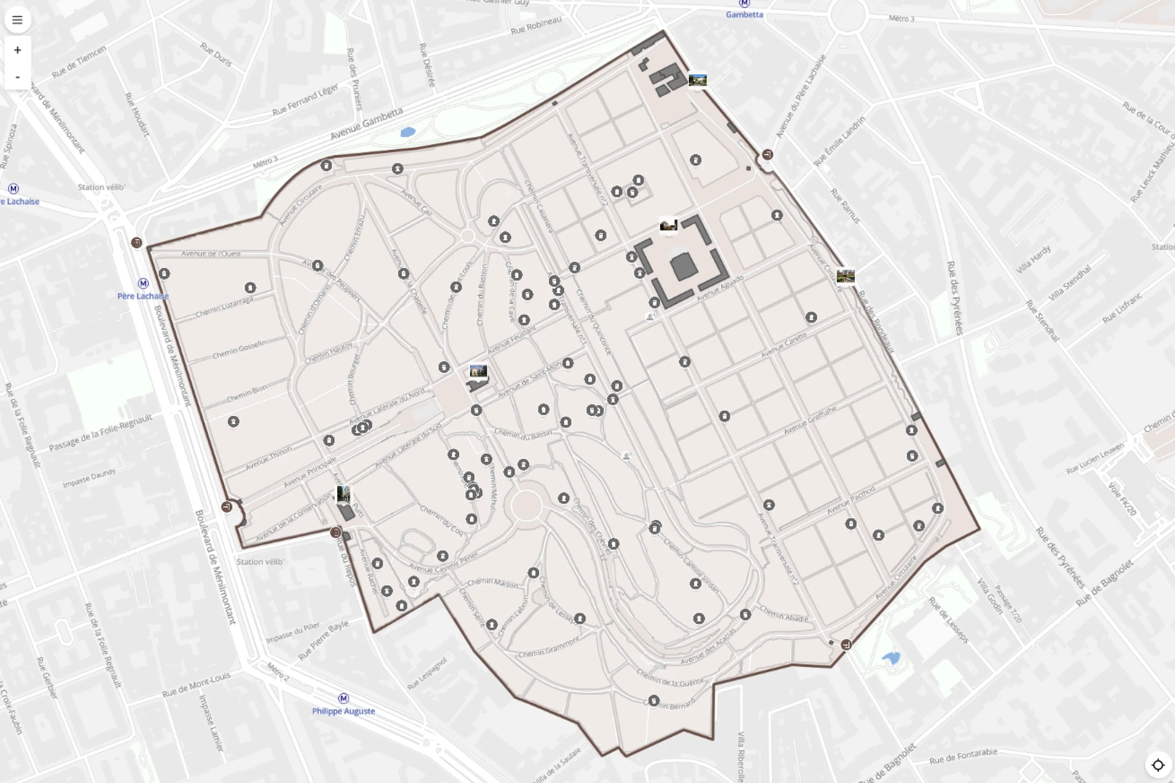
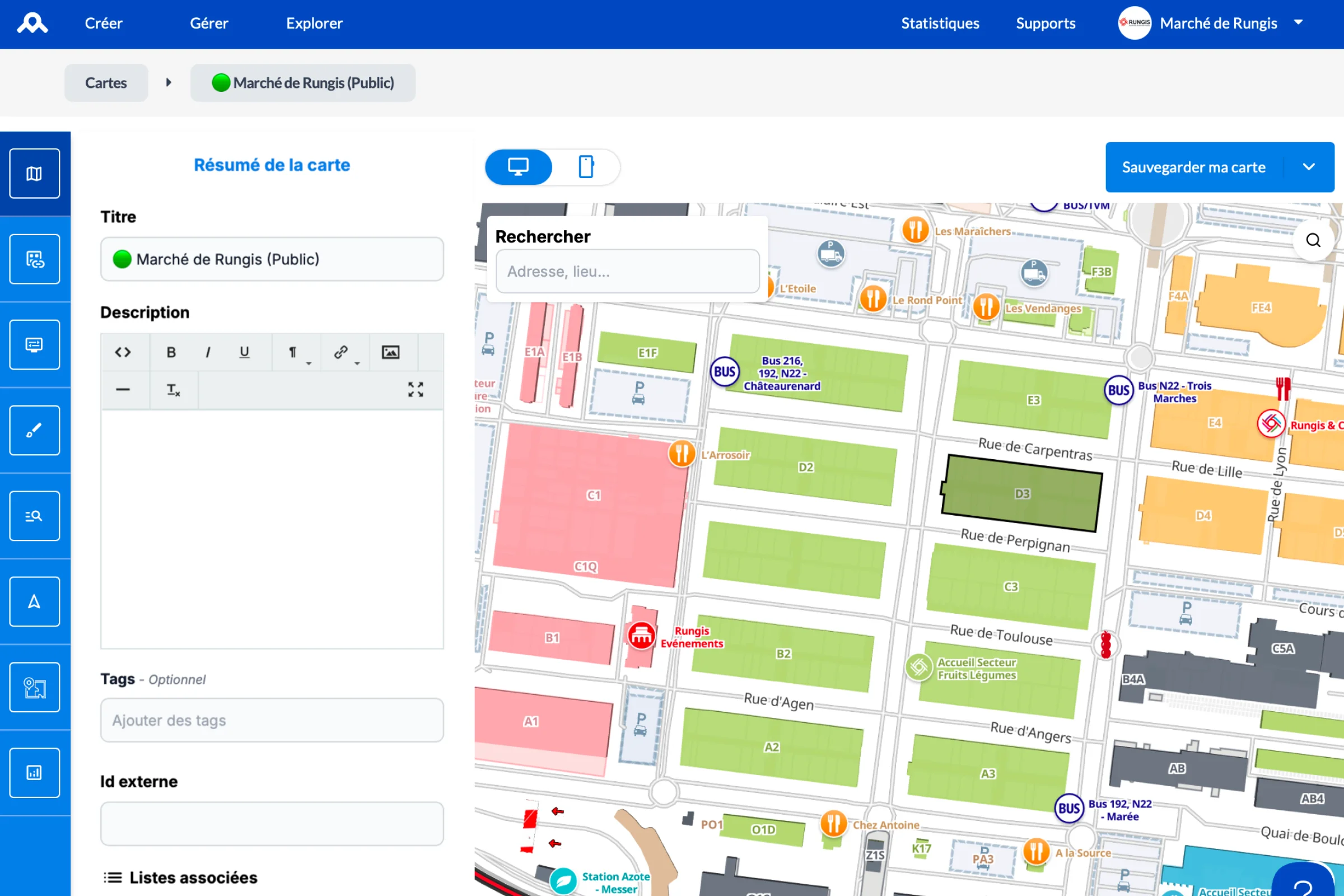
Draw zones and polygons (parking, security perimeters, sales sectors) and organise your map into independently toggled layers. Heatmaps and per-zone density.
Clients
Ville de Nîmes · Marché de Rungis · Château de Versailles
10+
layers toggled simultaneously
Rich media
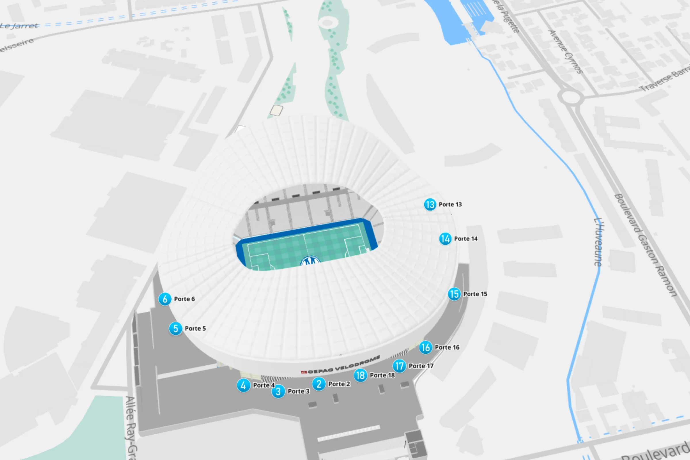
3D objects, brand logos and custom illustrations directly on the map — beyond the standard pin. Reusable asset library, import your own models.
Clients
Roland Garros · 24h du Mans · UEFA
3D
court modelling — Roland Garros
Search engine & filters
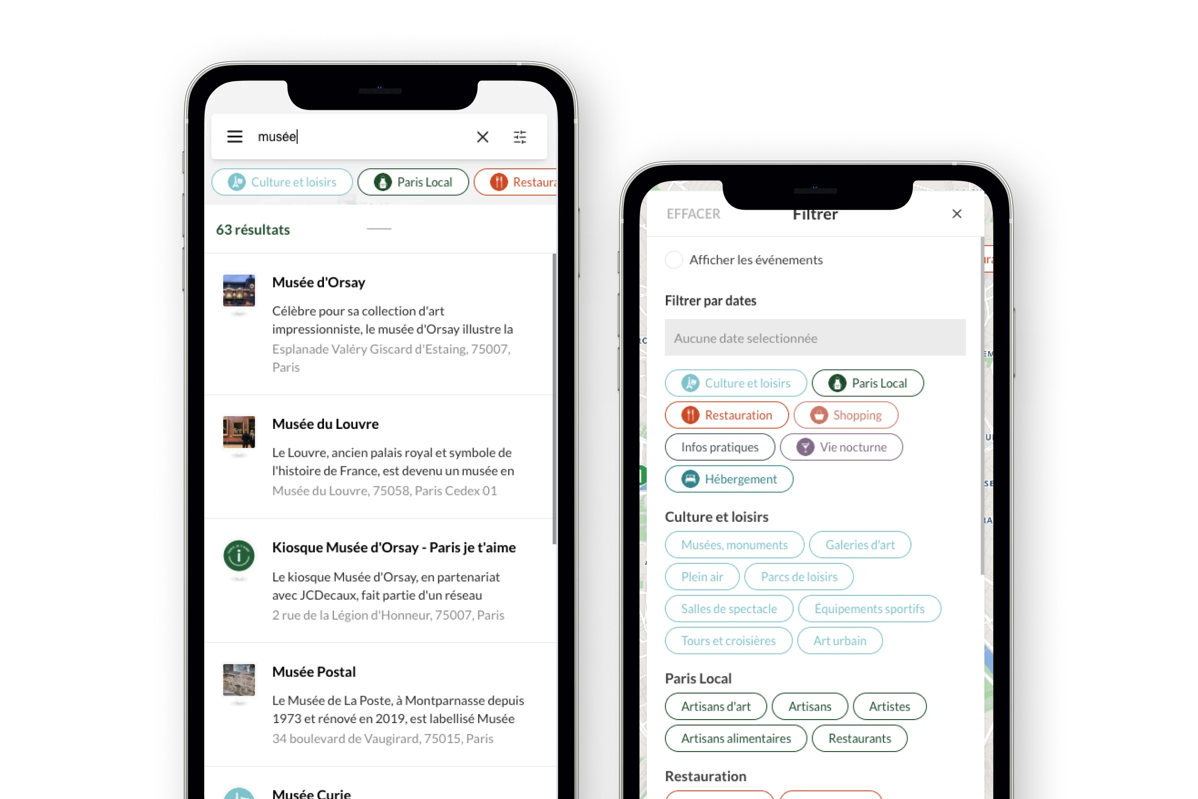
Instant full-text search across all markers, filters by category, hours or accessibility. Autocomplete and suggestions while typing. Customizable search engine.
Clients
Musée du Louvre · JC Decaux · Schneider Electric
< 200 ms
response time across 1 million+ markers
Live data / event-driven map
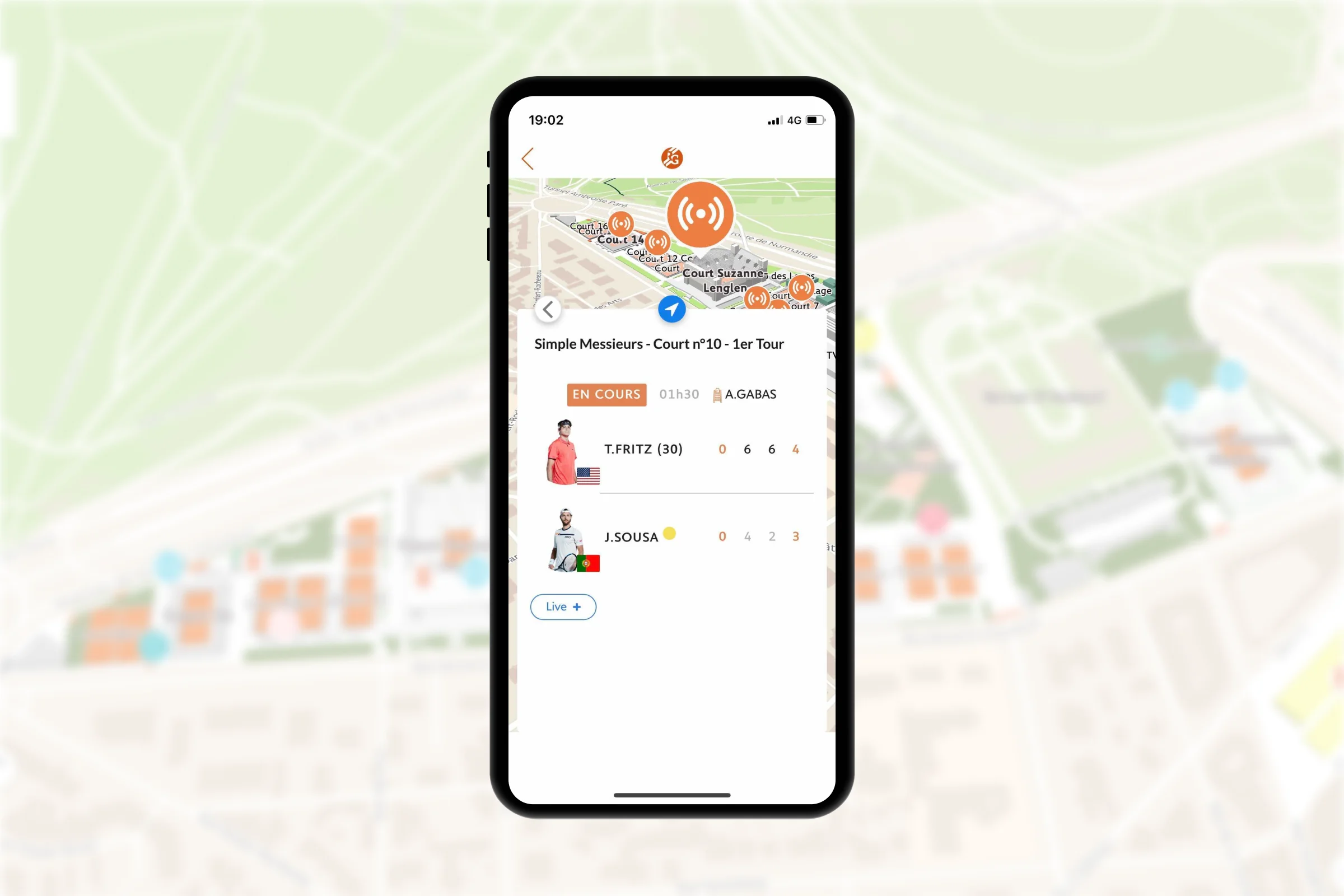
The map reacts to your business events in real time — occupancy, queue times, gate changes, promotions. Instant propagation via webhooks, no reload.
Clients
Paris 2024 · French Open Roland Garros · SNCF Gares & Connexions
100K/h
live updates at peak — Paris 2024
Offline, native & web
Pre-downloadable tiles and markers for offline use (dead zones, on-device operation). Native iOS, Android and Flutter SDKs, or lightweight JavaScript web integration.
Clients
Keolis · SNCB · FFF
0
service interruption underground or in dead zones

Studio
The Wemap Pro style editor — customise colours, icons, layers, opacity and zones without writing a line of code. Vector and raster map backgrounds, custom illustrations and 3D objects, per-user-profile styles (public, staff, VIP). Brand themes applied in WYSIWYG and published instantly.
"3D Stade Vélodrome maps in Orange brand colours — managed independently by the OM teams, in Wemap Pro."
Olympique de Marseille · SNCF (passenger/staff profiles) · Roland Garros
UNDER THE HOOD
Mapping technology — open, sovereign, performant.
Our maps are built on OpenStreetMap and proprietary vector tiles. No dependency on Google Maps, Mapbox or GAFAM. EU sovereignty.
"Sovereign vector tiles"
Tiles operated by Wemap in Europe, can be hosted on a private-cloud or on-premise. No personal data transmitted to third parties.
"OpenStreetMap + proprietary data"
Open data enriched by our engineers — indoor, rail data, pedestrian zones, custom backgrounds.
"30 000+ intégrations"
Leading European platform for interactive B2B mapping — 10 years of experience, 200+ clients.
Active OpenStreetMap contributor
·
Label France 2030
·
Supported by Bpifrance
Engineers specialising in geospatial data, vector mapping and GIS integration.
CASE STUDIES
For our clients, the guarantee of a high-level experience.
 Sports
 Indoor & outdoor maps, 3D court modelling, multi-profile maps (public, players, VIPs), real-time info.
50 000+
users/day
 Sports · Event
 Official maps for 180+ Olympic venues, 2nd most used feature in the official app, peak at 100,000+ users/hour.
180+
venues mapped
OPEN BY DESIGN
Your data, your formats, your tools.
Wemap integrates with your existing GIS tools and exports to all standard market formats.
Wemap Pro + QGIS — your team keeps its workflow
Style from your browser or from QGIS. Wemap QGIS plugin synced by API — your GIS team keeps its working habits.
"Your maps are never locked into a platform — native exports to GeoJSON, Shapefile, SVG."
Interoperability & sovereignty
Designed for organisations with strong requirements on data ownership and technology independence.
- OpenStreetMap (open data)
- Native GeoJSON
- DXF/SVG architect plan import
- On-premise available
- No Google Maps / Mapbox dependency
Ready to map your spaces?
Wemap Pro for operational teams. SDK for developers. Both in the same platform.