Maps and navigation for stadiums and major events
Give your fans a world-class experience: 3D maps, multimodal guidance, multi-profile maps.





CASE STUDY
Wemap provided the official maps for 180+ Paris 2024 Olympic Games venues. 2nd most-used feature in the official app, peak of 100,000+ users/hour, maps tailored for athletes, staff, contractors and the general public.
See all case studies →180+ venues
mapped for the Paris 2024 Olympic Games
100,000+
users/hour at peak — Paris 2024, no service interruption
100% autonomy
Organizers used Wemap Pro to operate the sites and maps in real times.
2nd
most-used feature in the official Paris 2024 app
CHALLENGES
Three challenges for organizers that Wemap solves.
Fans lost at the venue
"Our fans waste time looking for their entrance, seat or concessions — which degrades the experience."
Wemap guides each fan from arrival to their seat with 3D maps and multimodal step-by-step guidance. 50,000+ visitors guided/day at Roland Garros.
Complex multi-profile mix
"We have multiple user types — general public, athletes, VIPs, staff — with very different needs."
Wemap Pro manages multi-user profiles with differentiated content, access and guidance on the same infrastructure. Deployed for Paris 2024.
Hard to reach fans everywhere
"For our matches, we need to effectively inform spectators across all channels."
Wemap can be integrated into any digital product—websites, apps, or touchscreens—works offline, and allows for exports to print media.
CAPABILITIES
The Wemap capabilities that make the difference in Sports & Events.
3D maps & navigation
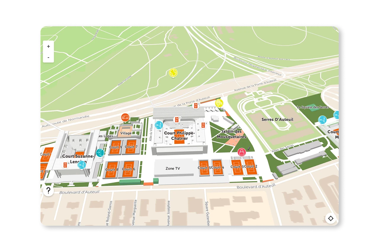
Interactive indoor/outdoor venue maps, 3D modelling of stands and concessions with real-time data (schedules, results, queue times). Step-by-step navigation from car park to seat.
For the Roland-Garros tennis tournament: over 50,000 concurrent users, with web and mobile app integration (1M+ downloads).
Treasure hunts, gamification & AR
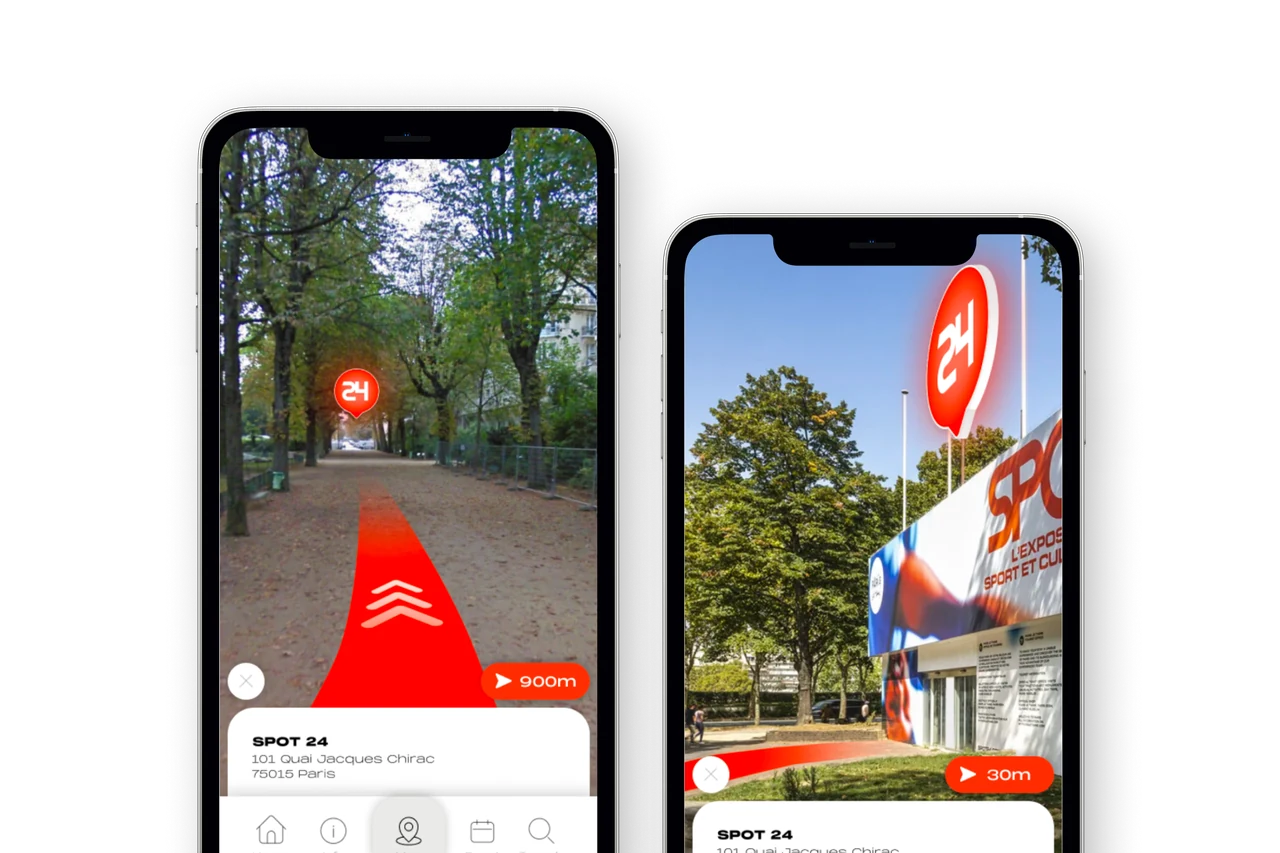
Geolocated treasure hunts across venues, interactive scavenger hunts, location-based riddles. Augmented reality for POI discovery by raising the phone. AR scenes around the stadium or venue.
For the Paris Tourist Office, a web app featuring location-based puzzles throughout the city, developed in just a few weeks for the Olympic and Paralympic Games.
Multi-profile: visitors, employees, and partners
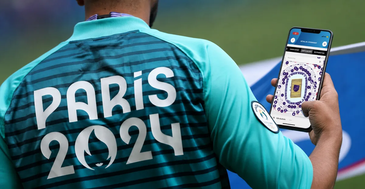
Your site offers a multitude of versions tailored to your various audiences, with services that adapt to your users' needs—ranging from general public and VIP versions to dedicated routes for individuals with reduced mobility or users with special authorization. Your teams and partners can navigate and find their way with maximum efficiency.
Deployed for Paris 2024 — differentiated profiles for the general public, athletes, VIPs and staff on the same infrastructure.
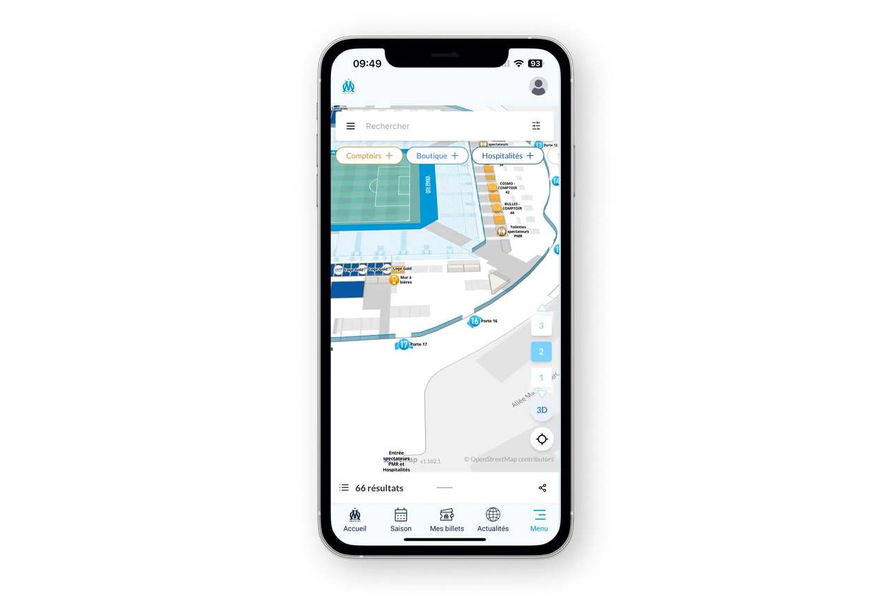
Deployment across all channels and formats
Thanks to Wemap’s various SDKs and APIs, maps and location and guidance services can be effortlessly deployed across your communication channels—from apps with digital wallets to partner and sponsor websites, and to printed leaflets.
For Olympique de Marseille — 3D Stade Vélodrome maps natively integrated into the club's mobile app via SDK.
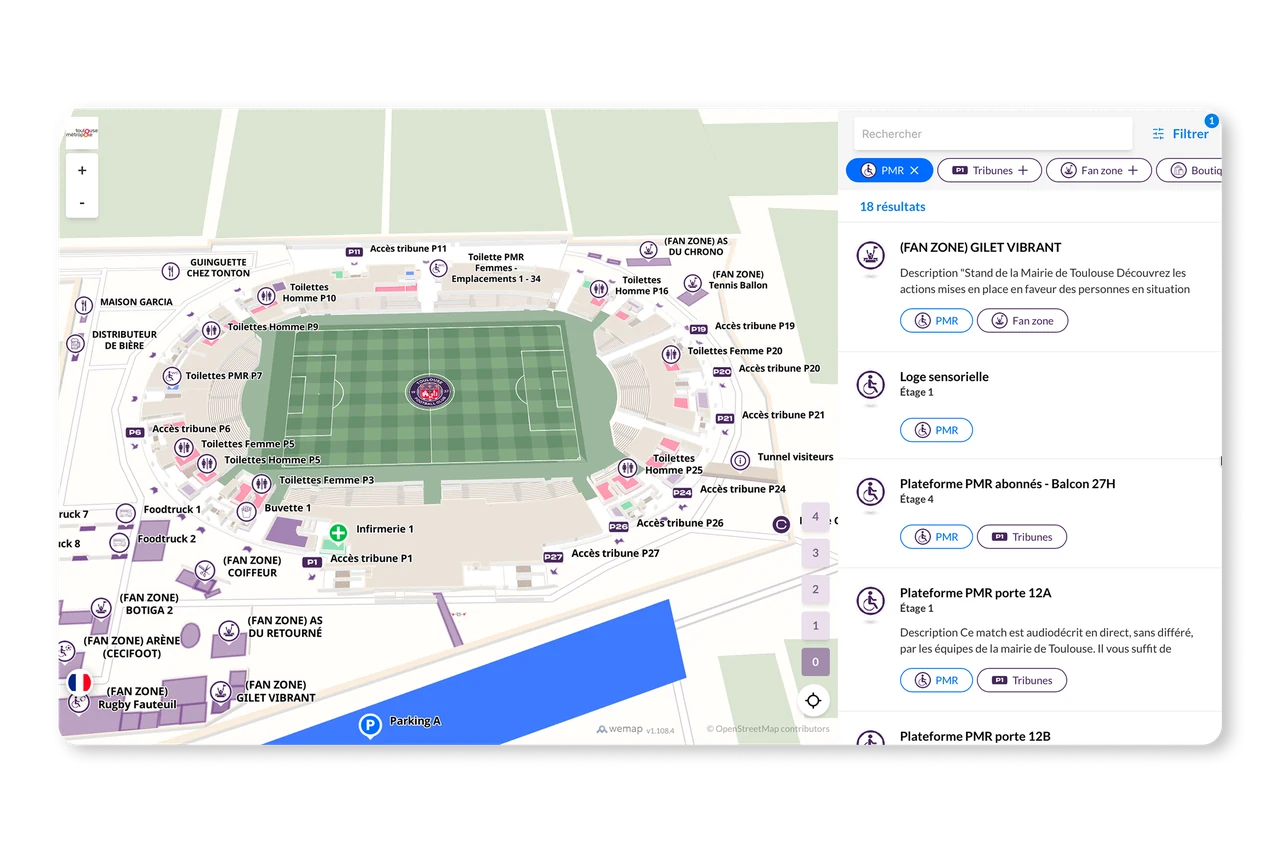
More accessible sites and events
Your stadiums, arenas, and circuits are complex and crowded; make them more accessible with interactive maps tailored for people with reduced mobility, audio guidance, and intuitive augmented reality wayfinding. Wemap also integrates with specialized accessibility solutions such as Evelity, Ezymob, and Streetco.
For the Toulouse Stadium, our partner Ezymob is deploying various accessibility profiles to ensure the best possible conditions for entering the stadium.
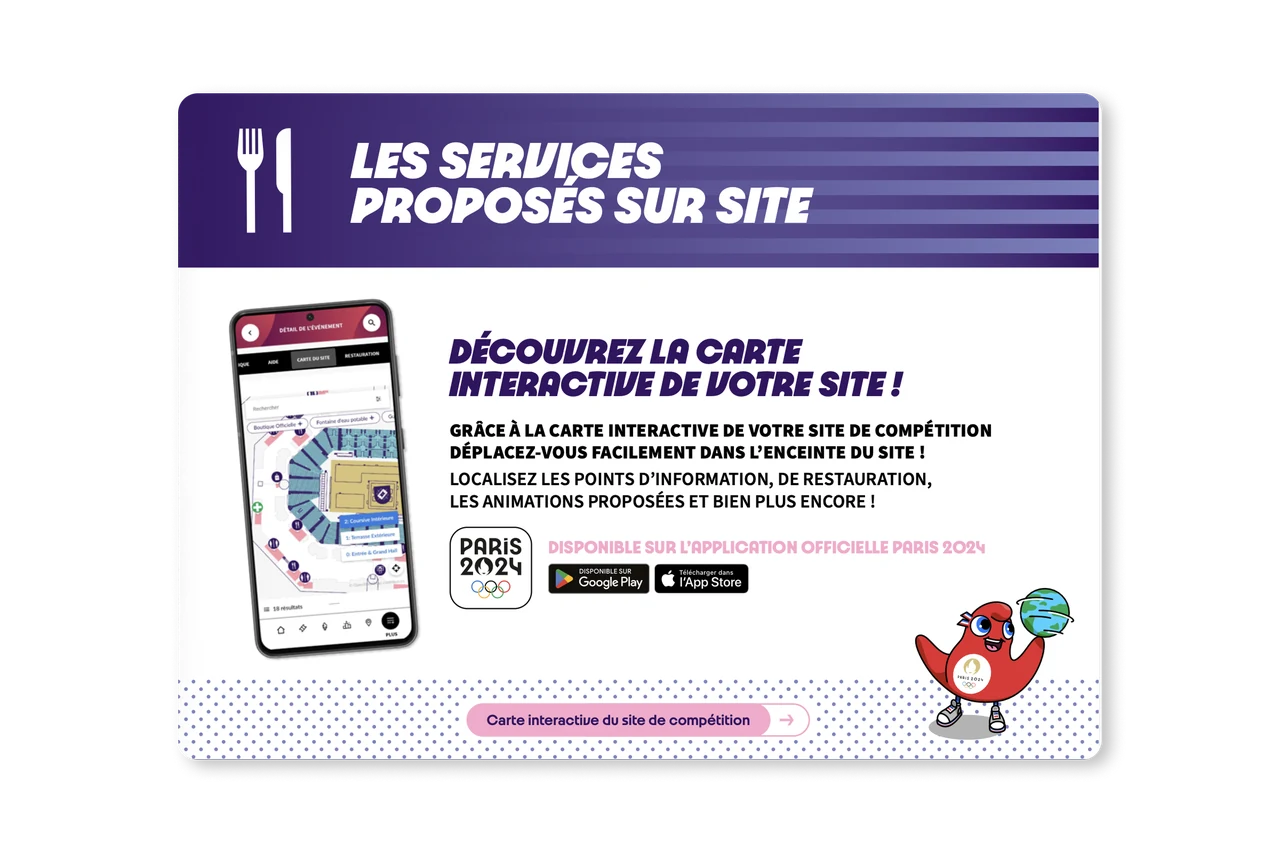
A high-service-level solution
Wemap’s infrastructure and services are designed to handle heavy traffic and massive volumes of concurrent users. Wemap offers a dedicated SLA and a specialized operational setup for major international events.
Paris 2024 – peak of over 10 million requests across various guidance and location services in less than 12 hours.
REFERENCES
Sports & Major Events — our references.
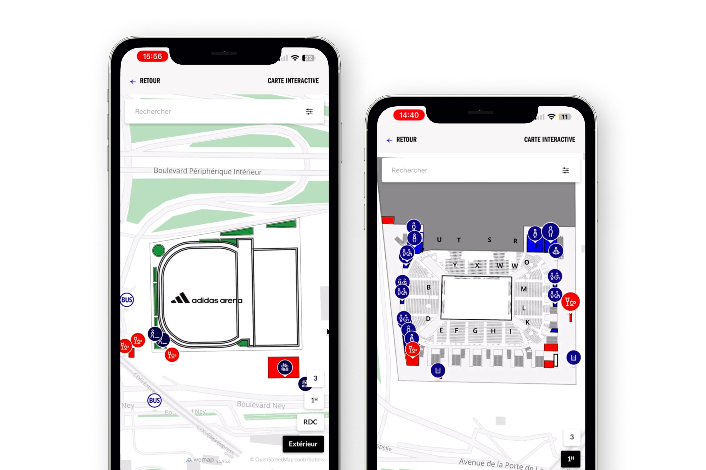

Simplified maps for better accessibility
Web-based floor plans for all Adidas Arena events. Managed independently on Wemap Pro by the arena's teams.
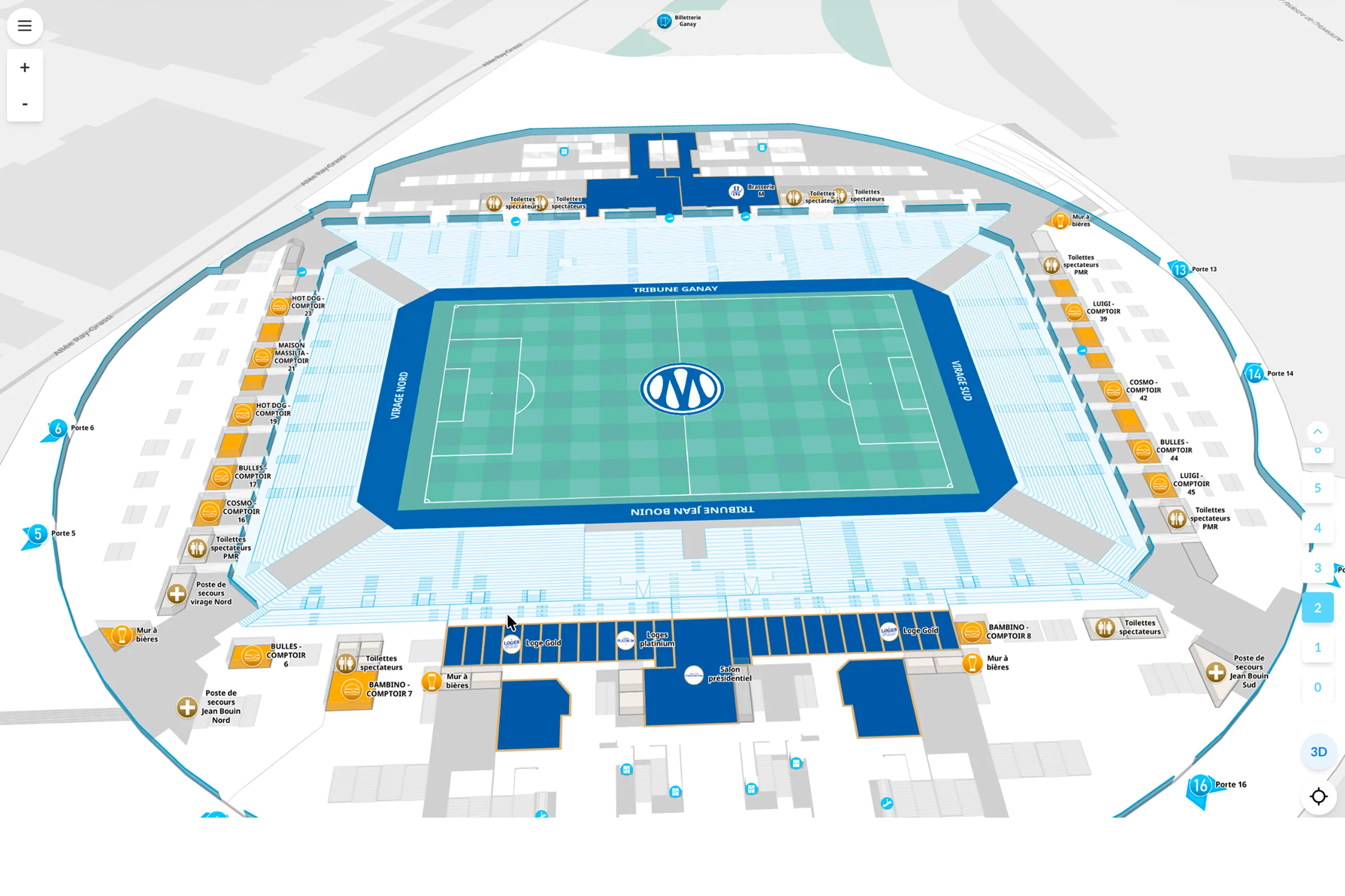
Web 3D map and navigation
3D Stade Vélodrome maps in Orange colours, multi-level, guidance, autonomous management by OM teams via Wemap Pro.
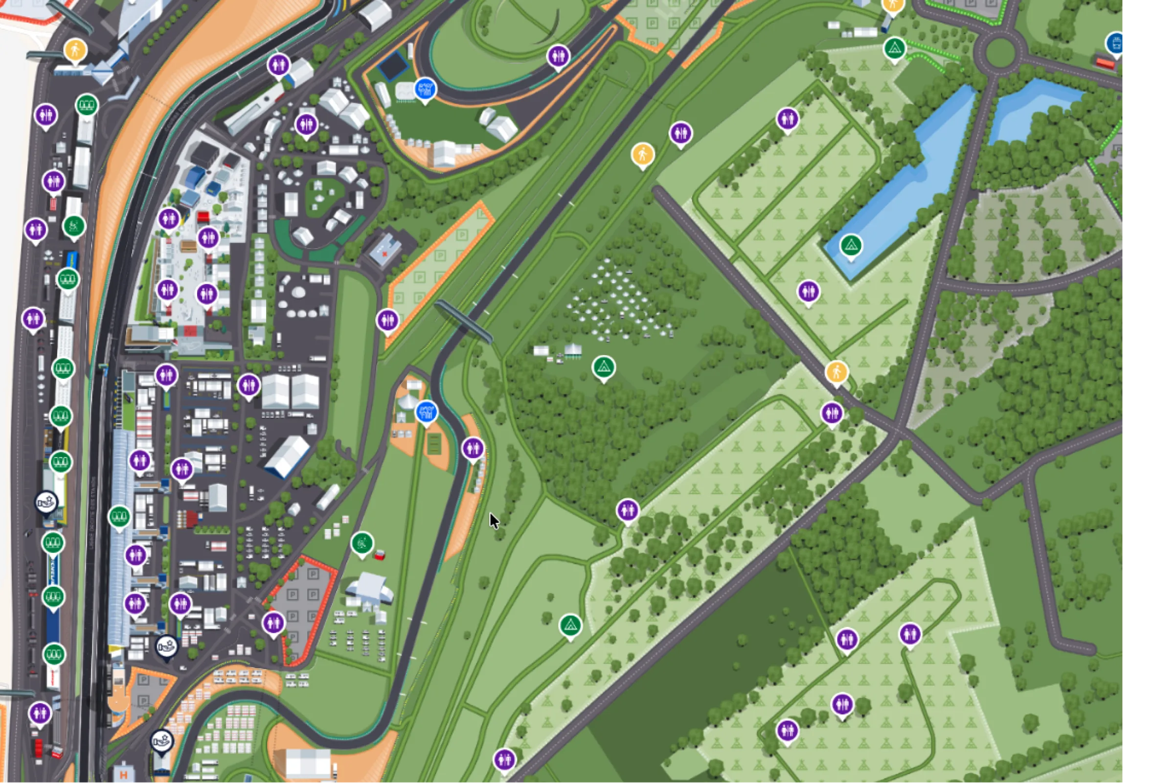
Illustrated maps and navigation available offline
Online/offline circuit navigation, dynamic content, accessibility guidance, map available offline during the event.
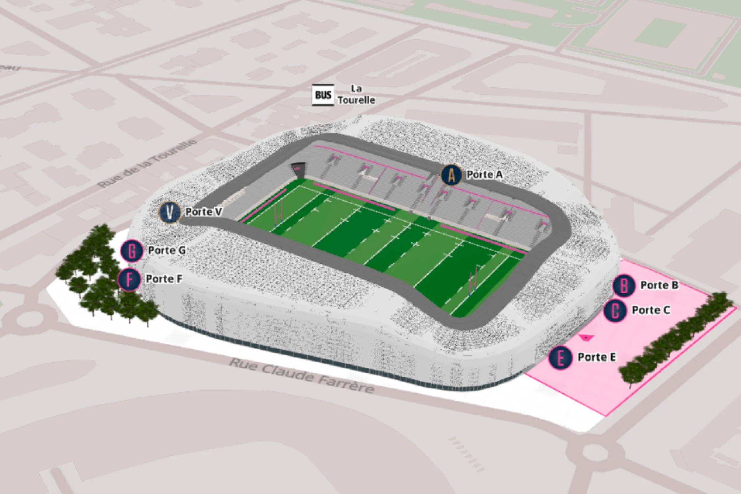
Stade Jean Bouin with way finding in mobile app
3D Stade Jean Bouin maps, multi-profile routes, integration in the club's mobile app, with our partner B Fan.
Ready to offer a world-class experience to your fans?
30 minutes with our team — bring your constraints, we bring examples from your sector.