
Enhanced passenger experience and airport operations
Guide passengers and teams with precision across your terminals: Wemap Vision positioning, real-time information, spatial AI.
CASE STUDY
Wemap Vision deployed in two terminals: complete terminal mapping, beacon-free indoor positioning for passengers and staff, multi-profile guidance and real-time information on equipment and queue lengths.
See all case studies →2 days
full terminal VPS set up — passengers and staff guided without beacons
Multi-profile
passengers · staff · contractors — each profile its own guidance
mobile & web
availability of indoor positioning and way finding
Real time
equipment info, queue lengths and incidents — displayed on the map
CHALLENGES
Three airport challenges that Wemap solves.
Gates hard to find
"Passengers can't find their boarding gates — especially in large multi-terminal airports."
Wemap Vision guides each passenger from the terminal entrance to the gate, without beacons or dedicated infrastructure. 1-3 m accuracy, deployed in hours.
Complex multi-profile mix
"Managing multiple user profiles (passengers, staff, contractors) on a single platform is complex."
Wemap Pro manages multi-user profiles with differentiated content, rights and guidance. One platform, multiple experiences.
Costly, underused kiosks
"Our information kiosks are expensive and underused — passengers want a mobile solution."
Wemap deploys guidance directly in the existing app via SDK or responsive web. QR code on kiosks to switch to mobile.
CAPABILITIES
The Wemap capabilities that make the difference for your Airports.
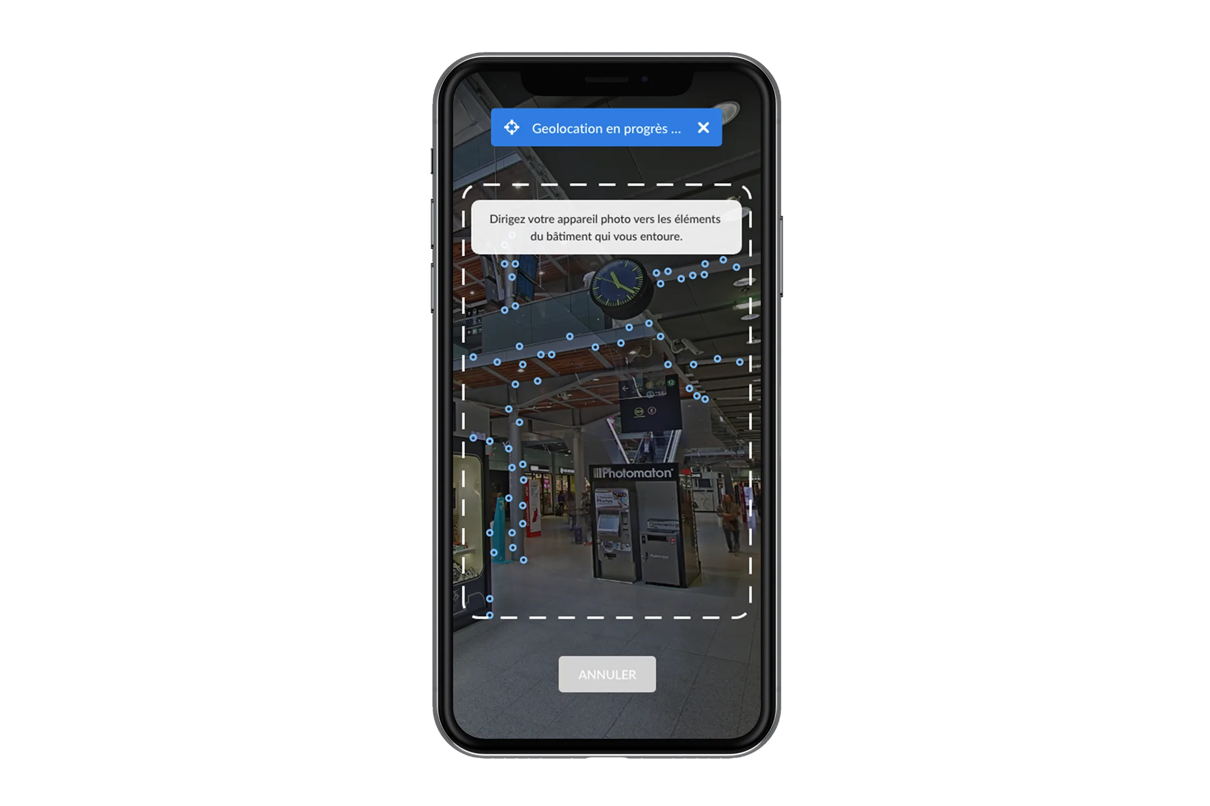
Infrastructure-free indoor positioning (Wemap Vision)
Accurate terminal positioning via computer vision — no beacons, no dedicated WiFi network. Low-cost 360° capture in hours. GPS + VPS + IMU fusion for positioning continuity between indoor and outdoor zones.
For a leading European airport — terminal deployment with passenger and staff guidance, real-time information and multi-profile.
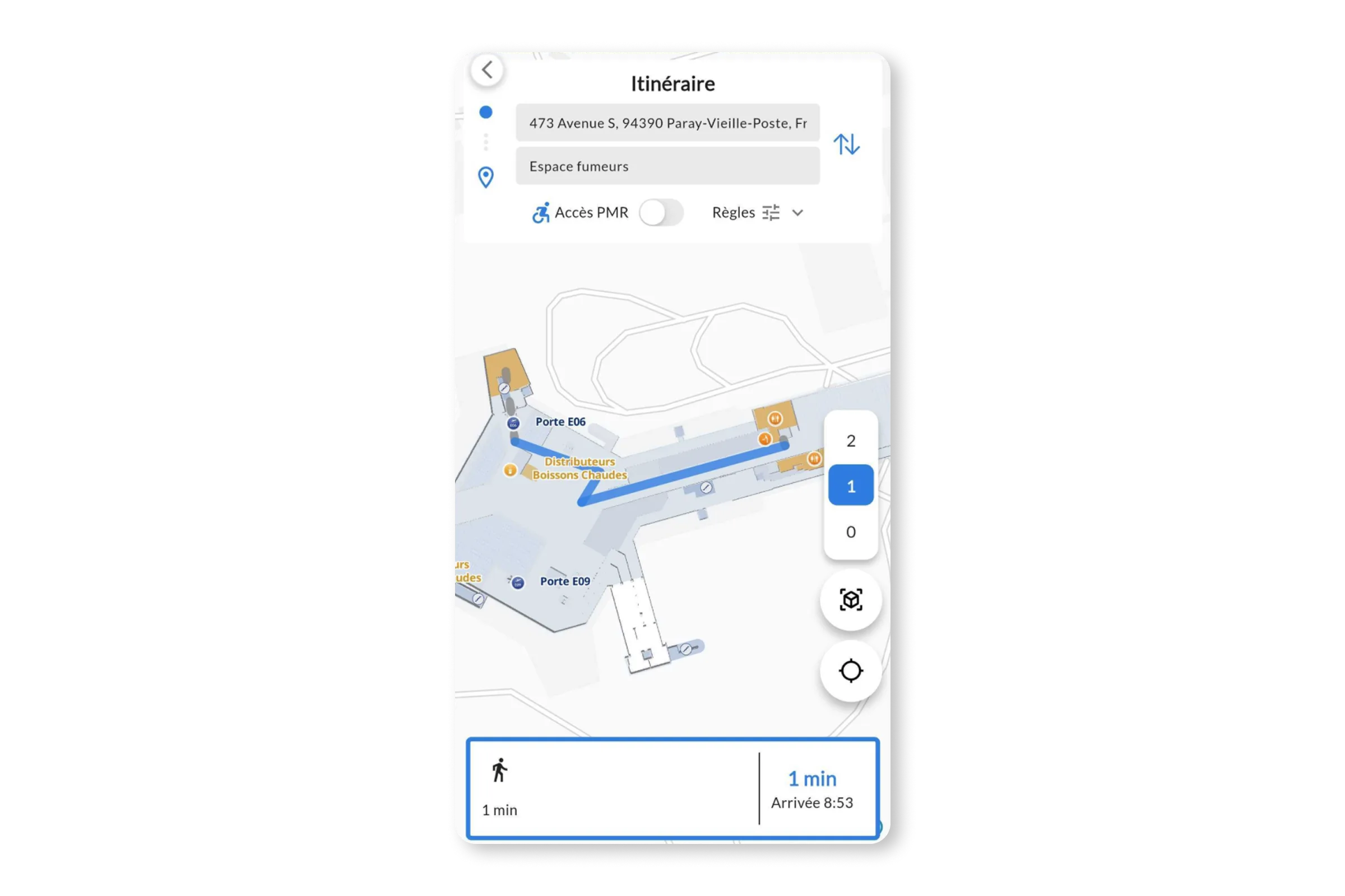
Step by step navigation, seamless transitions
Using vision-based positioning, guide passengers seamlessly from parking areas to terminals, connecting flights, or taxi and public transport hubs. Dynamic route recalculation, integration of real-time information, seamless indoor-outdoor transition.
For a leading airport group: multi-level wayfinding within complex terminals via a mobile application.
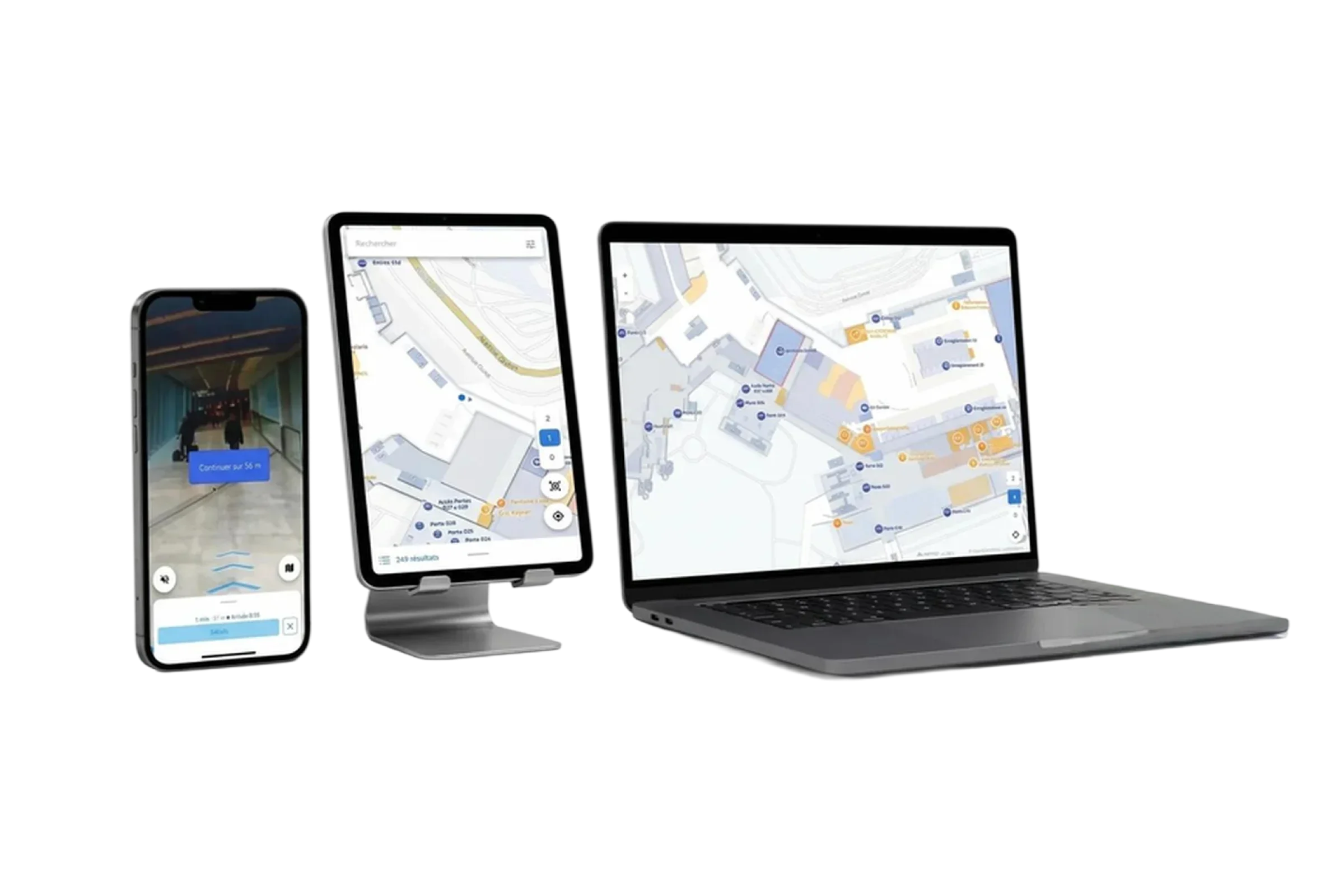
Multi-channel, multi-format
Deploy Wemap within your apps and websites—the location technology works. From a blue dot on the map and chatbot-based directions to immersive guidance (audio, augmented reality), provide tailored experiences for different user profiles. Offer your mapping and guidance service to partners using deep links or Wemap SDKs.
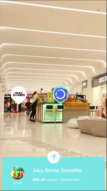
Real-time information & personalized ads
Display of queue times at security, equipment availability (lifts, baggage carousels), real-time incidents on the map. Augmented reality for visual search of shops and promotions when raising the phone.
For a global DOOH leader — visual positioning deployed in less than 1 day for a terminal, AR promotions activated during passenger visual search.
REFERENCES
Airports — our references.
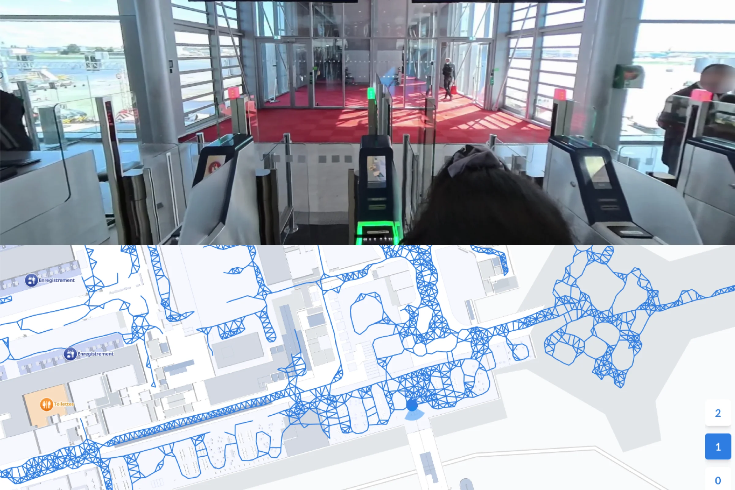
Transit improved
Wemap Vision — mapping, positioning, multi-profile guidance, real-time equipment and queue info.
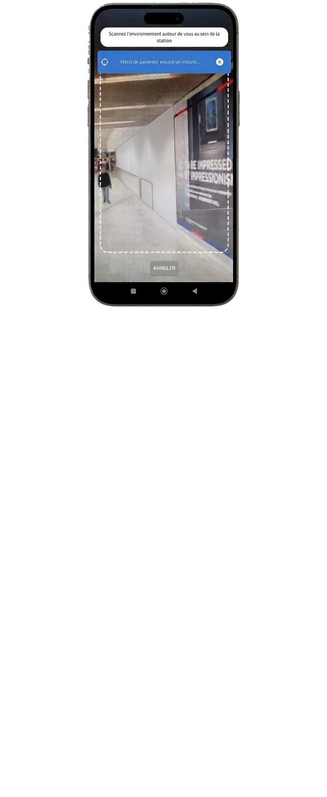
Multi-airport deployment
Wemap Vision deployment underway across the network: spatial AI for operations, visual positioning for passengers.
< 1 day deployment
Visual positioning deployed in less than 1 day for a terminal — AR promotions during passenger visual search.
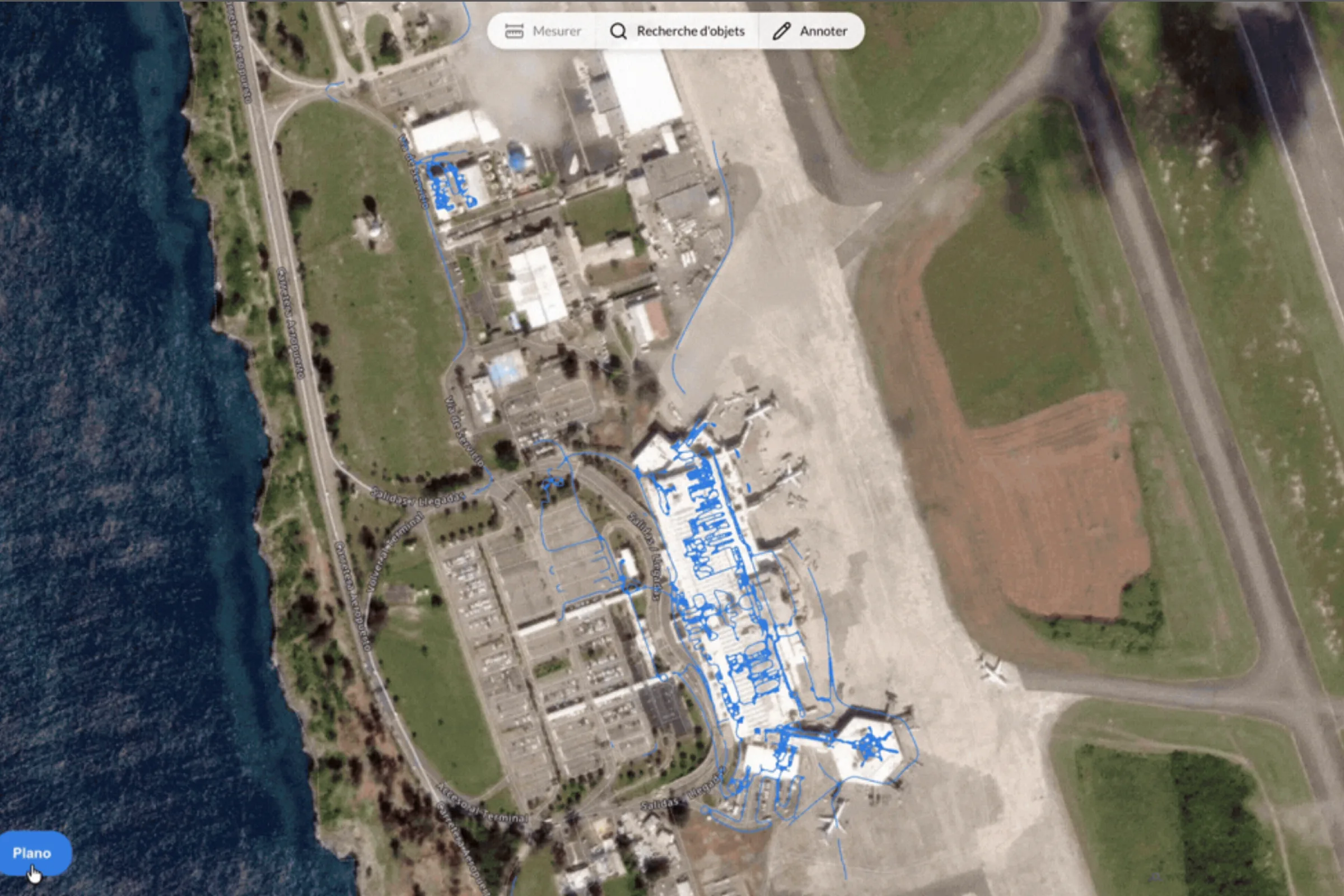
Lightweight digital twin
Wemap deployed landside and airside: a lightweight digital twin of the terminal featuring equipment detection and enhancements to reference data and CMMS.
Ready to see Wemap in your terminal?
Have a 30-minute chat with our team—bring your challenges, and we’ll provide you with field-proven solutions.