
Step-by-step navigation and visual search, overlaid on the real world.
Wemap AR transforms wayfinding, search, and navigation into an immersive experience. Practical and intuitive, augmented reality makes it easier to understand the environment. Available via Web (WebAR) and native iOS/Android/Flutter apps.
CAPABILITIES
Four capabilities, one AR layer.
Available independently or combined with other Wemap layers (Maps, Positioning, Wayfinding).
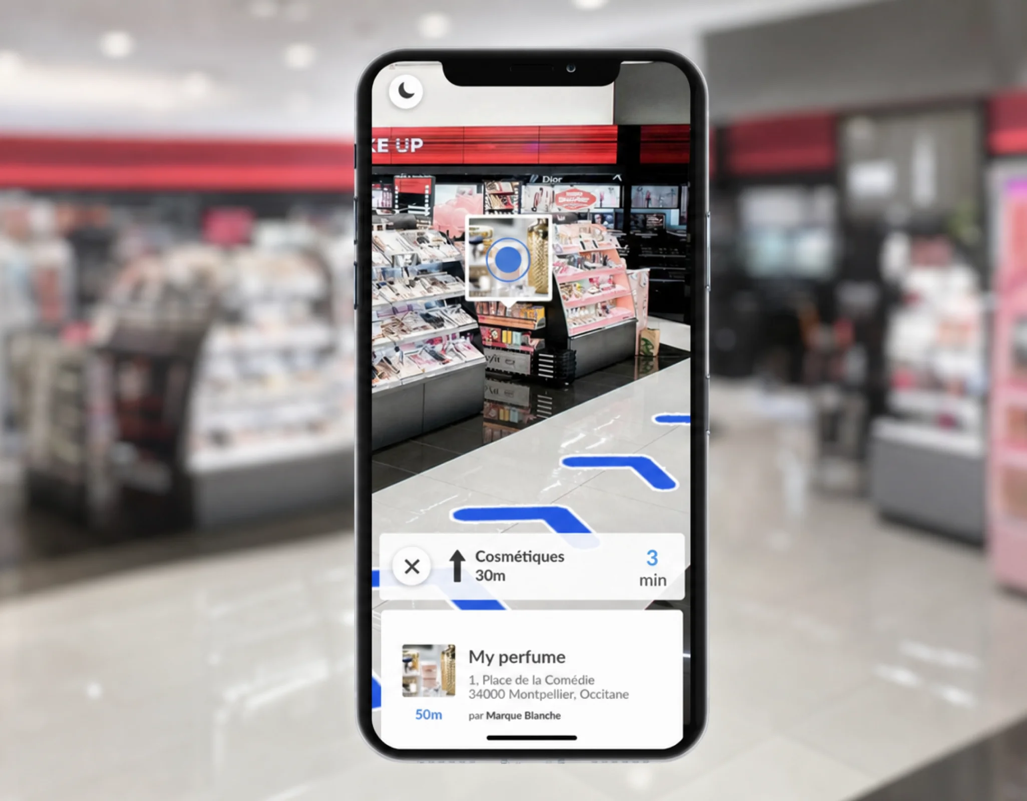
Visual AR search
POIs matching a text or image search appear directly overlaid on the camera feed when raising the phone — same Search engine as Wemap Search API, applied in real time to the AR view. Configurable view.
Clients
Groupe Vusion · Galeries Lafayette
< 1 second
to locate a POI by description or photo, without knowing the floor plan
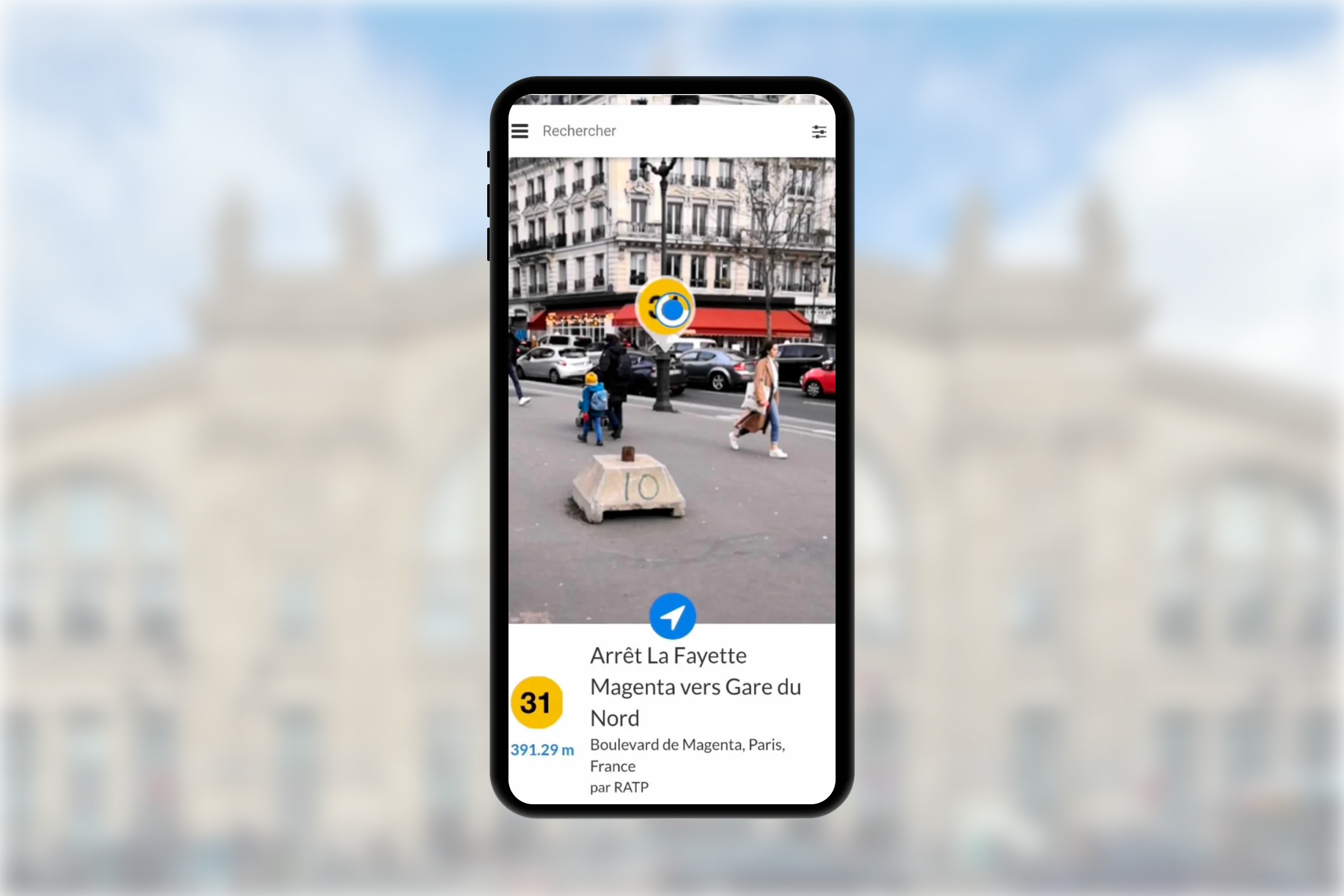
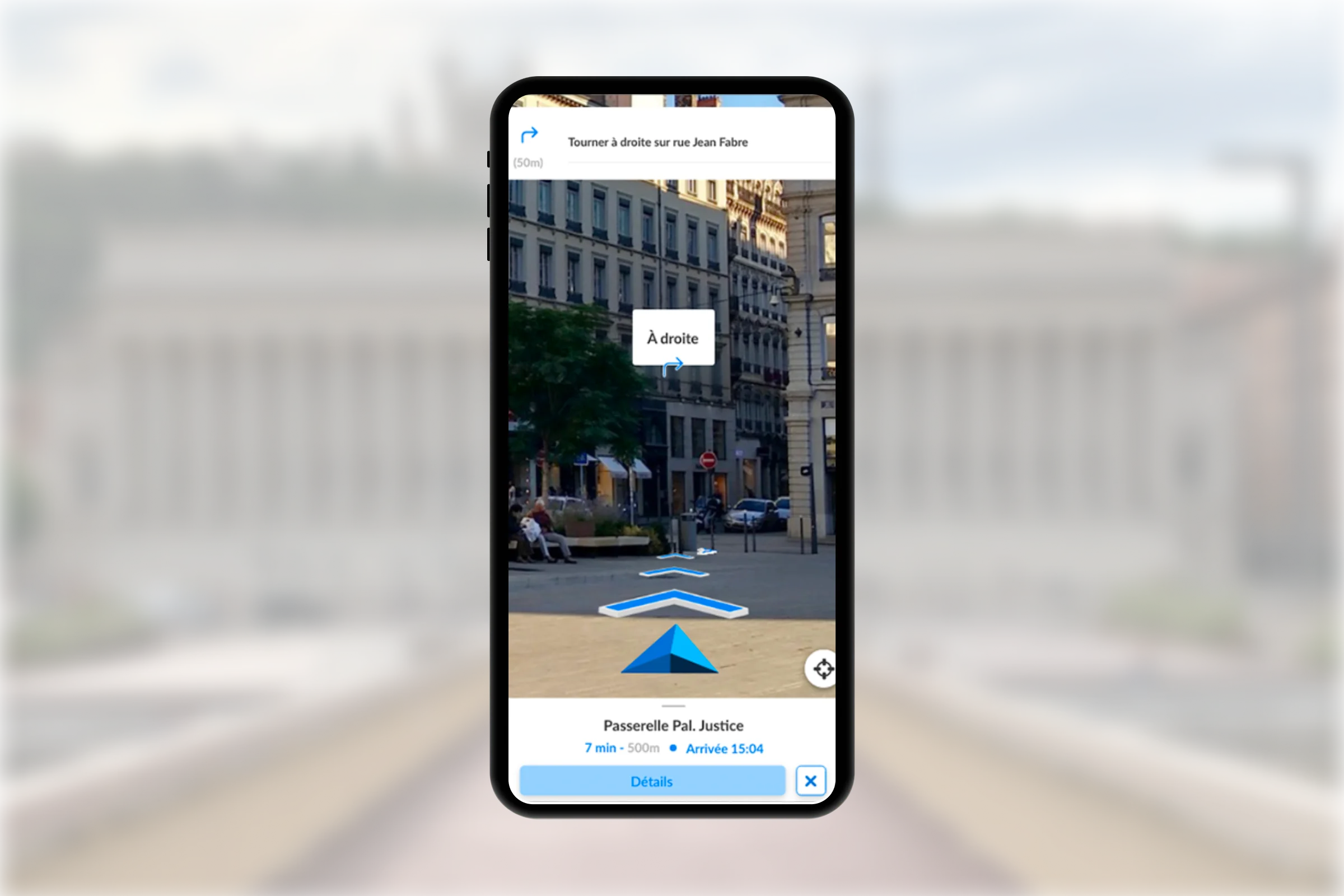
Step-by-step AR navigation
Floor chevrons overlaid on reality, full-scale instructions, floor changes and landmarks signalled in real conditions. Relies on Wemap Vision's positioning — no Bluetooth or extended WiFi infrastructure required.
Clients
Keolis Nancy · JC Decaux · Ville de Colmar
98%
of users find AR useful — Keolis Nancy
Gamification
Step-based routes, badges and geolocated challenges triggered when approaching a POI in AR. Used for treasure hunts, cultural visit trails or in-store loyalty programmes.
Use cases
Tourism · Culture · Retail
+ engagement
on gamified visitor trails vs. a static trail
Web and native iOS/Android
WebAR SDK usable directly in the browser (WebXR, no installation) for instant access, or native iOS, Android and Flutter SDKs for integration into an existing app with offline mode.
Integration
JS SDK, iOS (Swift), Android (Kotlin), Flutter
0
install required in WebAR mode
UNDER THE HOOD
The same R&D as Wemap Vision, applied to augmented reality.
Wemap AR doesn't reinvent positioning — it relies on the reference generated by Wemap Vision Engine from simple 360° images, with no beacon or industrial scanner.
"Positioning first, AR second"
The AR layer inherits Wemap Vision's real-time relative positioning — 100% on-device, no 360° image stored after processing.
"Same reference, every surface"
The same reference powers the map, the 360° viewer and the AR experience — a single recapture updates all three surfaces.
Privacy-first by design
The camera feed used for AR is neither stored nor transmitted — positioning and visual search processing runs on-device.
3 post-doctoral researchers
· ex-INRIA · ex-Polytechnique
Label France 2030 ·
Member OpenARCloud
CASE STUDIES
In production — to simplify and enrich the user experience.
 Transport
 Step-by-step AR navigation in stations and across transport networks — floor chevrons, real-time relative guidance.
98%
of users find the experience useful
 Tourism
 Gamified AR tourist trail — steps, badges and challenges across the historic centre.
3
languages available
Ready to see how it all fits into your architecture?
Maps, Positioning, Vision and AR are four layers. The Platform page shows how they fit together — APIs, data formats, on-premise, and integration into your stack.